Summit registry
Summits.
Every peak jtreks can verify a summit photo against. Coordinates come from OpenStreetMap natural=peak nodes and Wikidata P625 claims, cross-checked against registry elevation. No guessed coordinates.
Rarity tier comes from real elevation: sub-3,000 m Common, 3–5 km Uncommon, 5–7 km Rare, 7–8 km Epic, 8 km+ Legendary. These tiers are the same scheme the upcoming generative-art layer will use (design in docs/specs/generative-art-pipeline.md).
46 of 47 peaks verified · upload a summit photo →
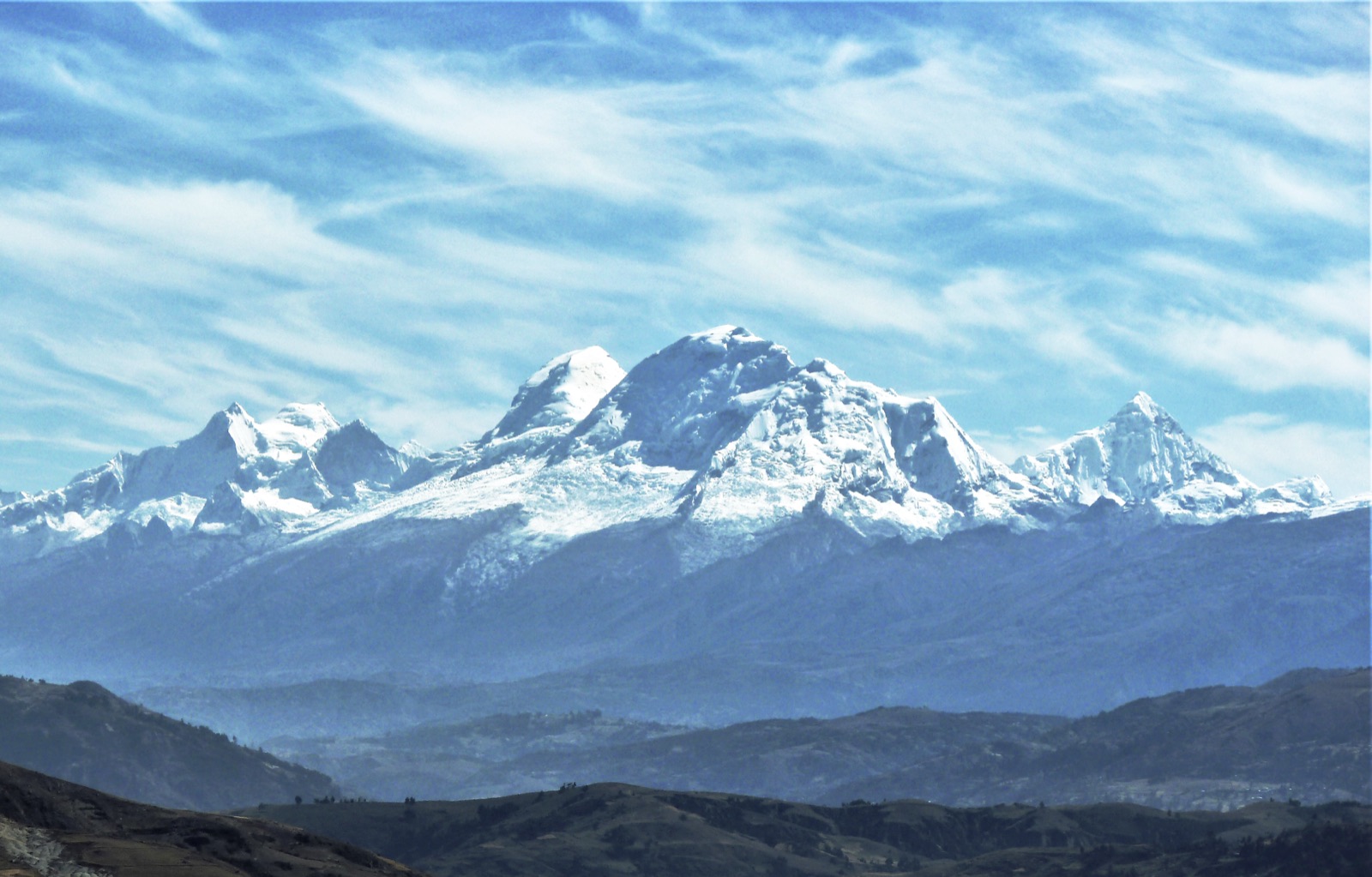
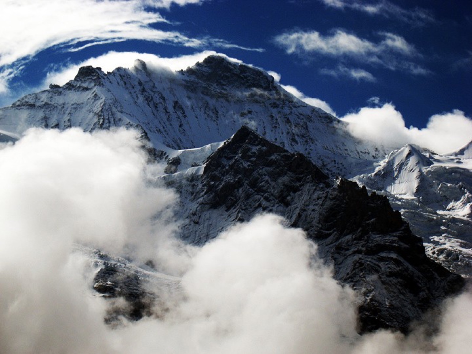
Himalaya
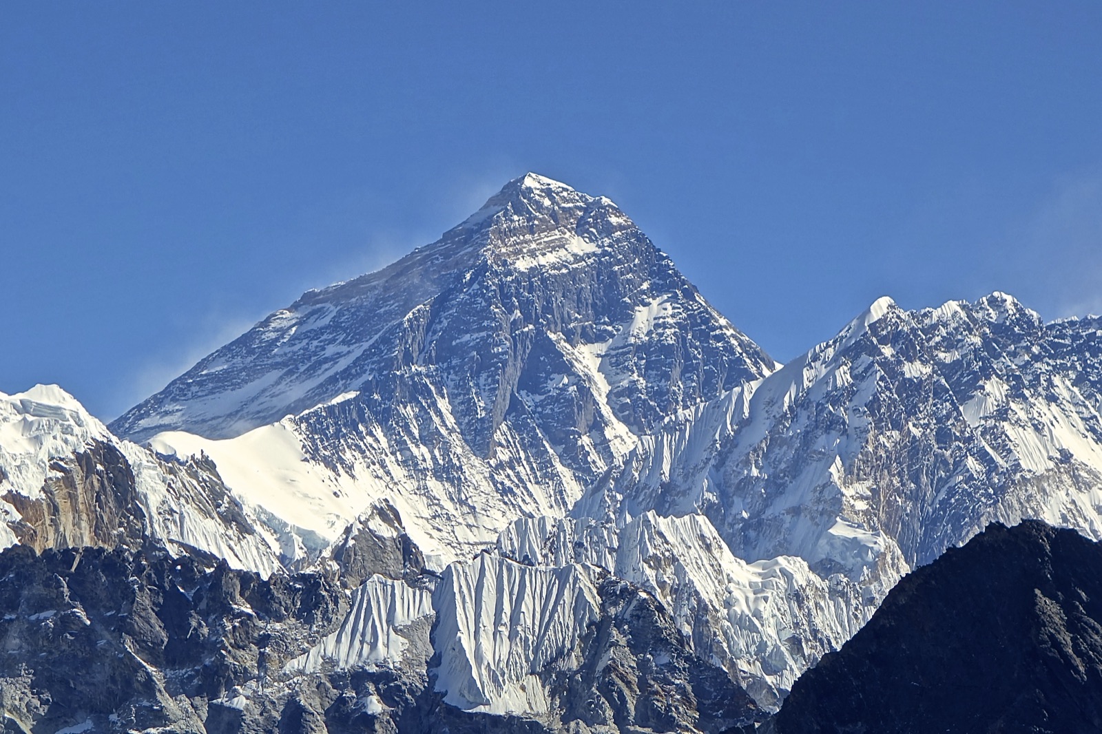
Everest
Legendary27.9881, 86.9253 · r=200m
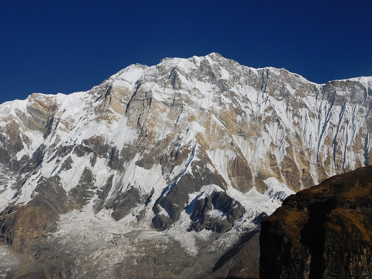
Annapurna I
Legendary28.5958, 83.8199 · r=200m
Kangchenjunga
Legendary27.7025, 88.1478 · r=200m
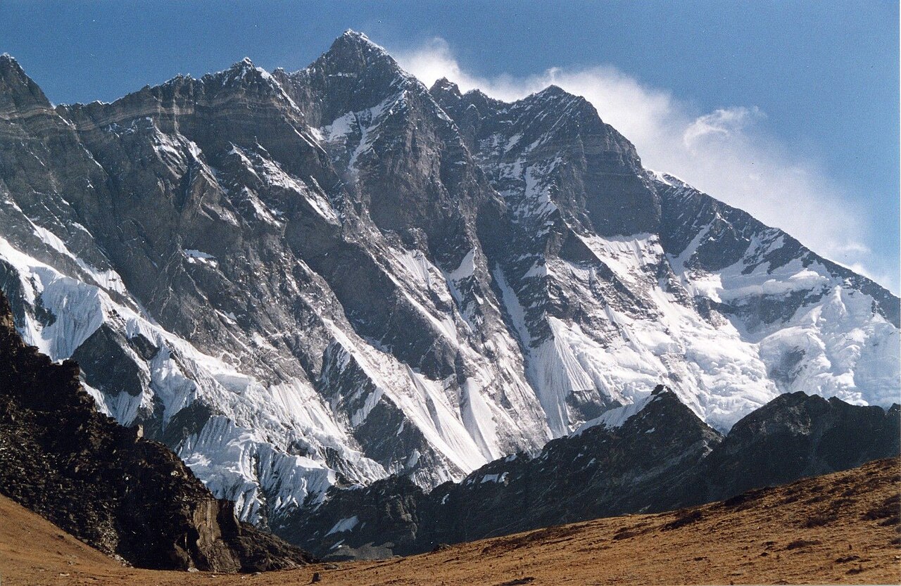
Lhotse
Legendary27.9617, 86.9331 · r=200m
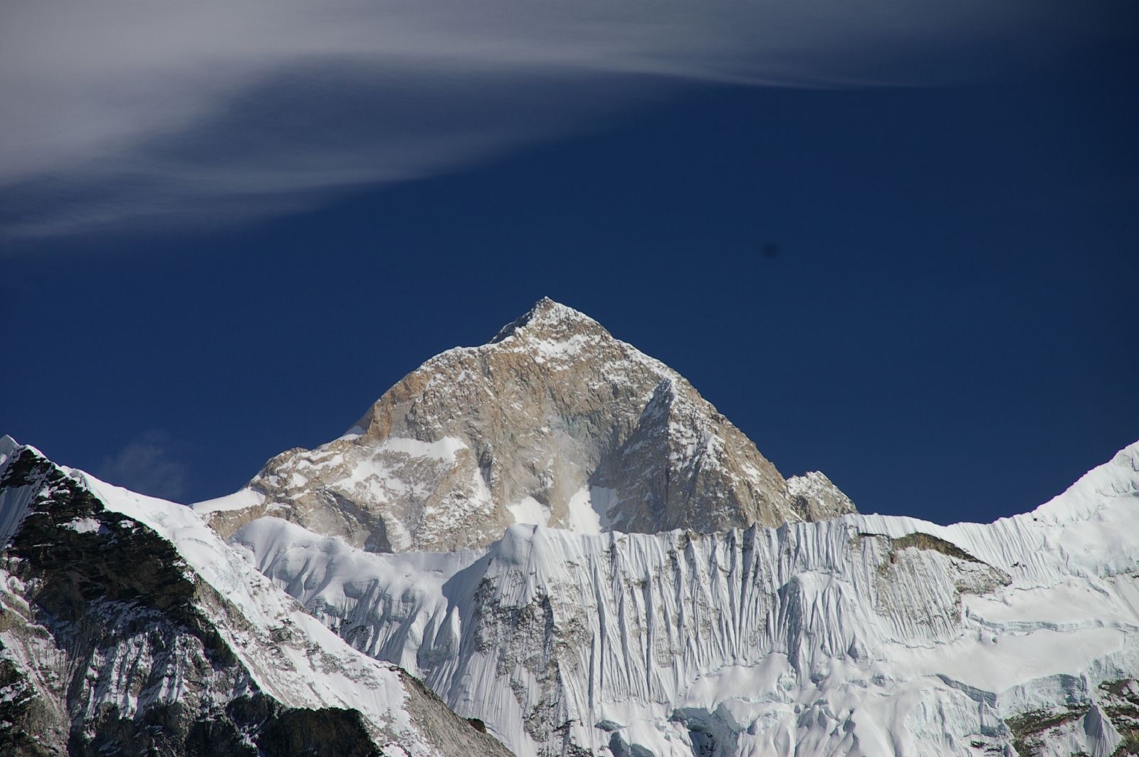
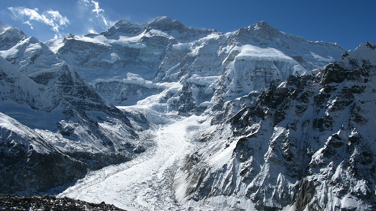
Makalu
Legendary27.8892, 87.0886 · r=200m
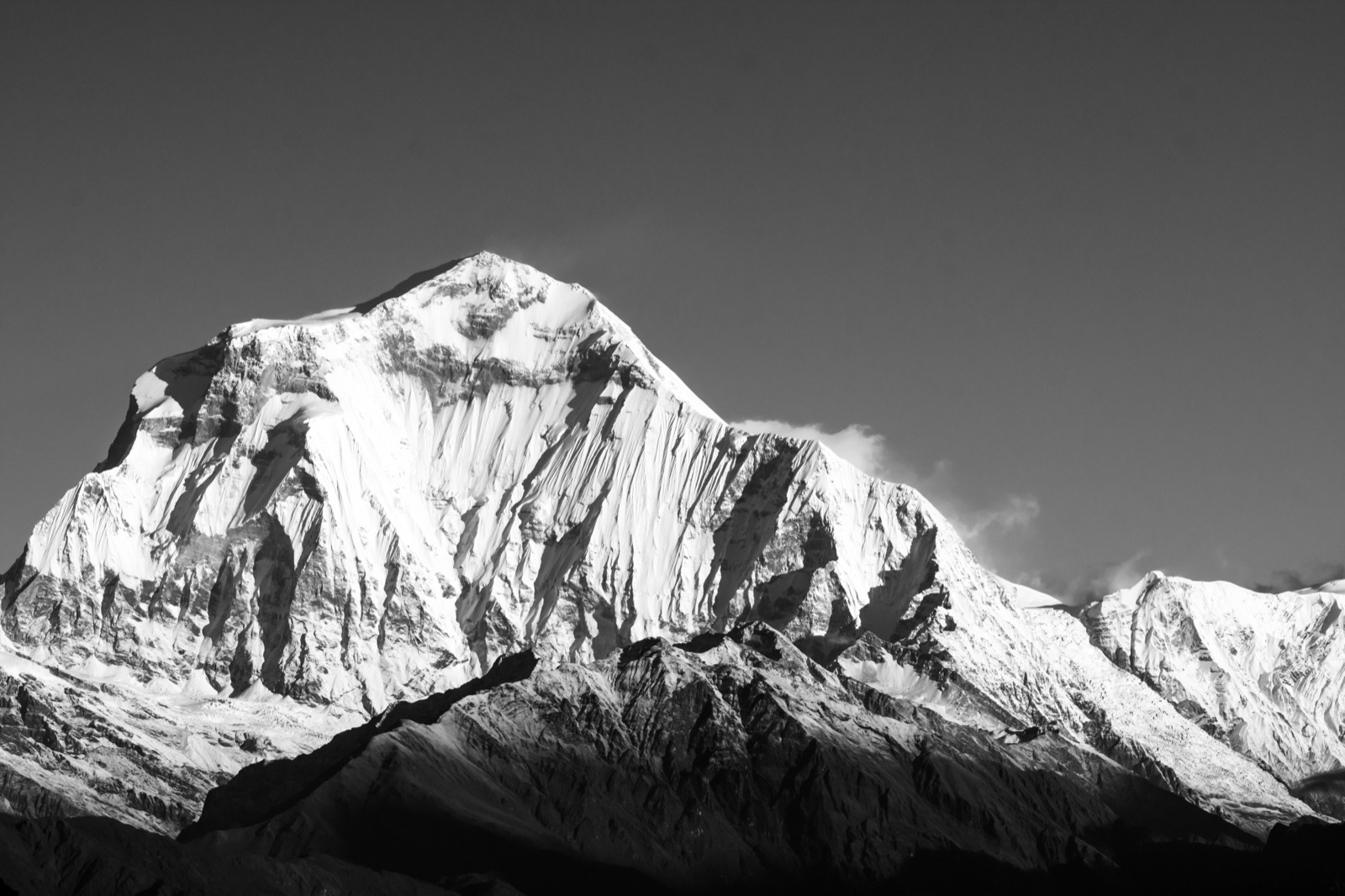
Dhaulagiri
Legendary28.6976, 83.4895 · r=200m
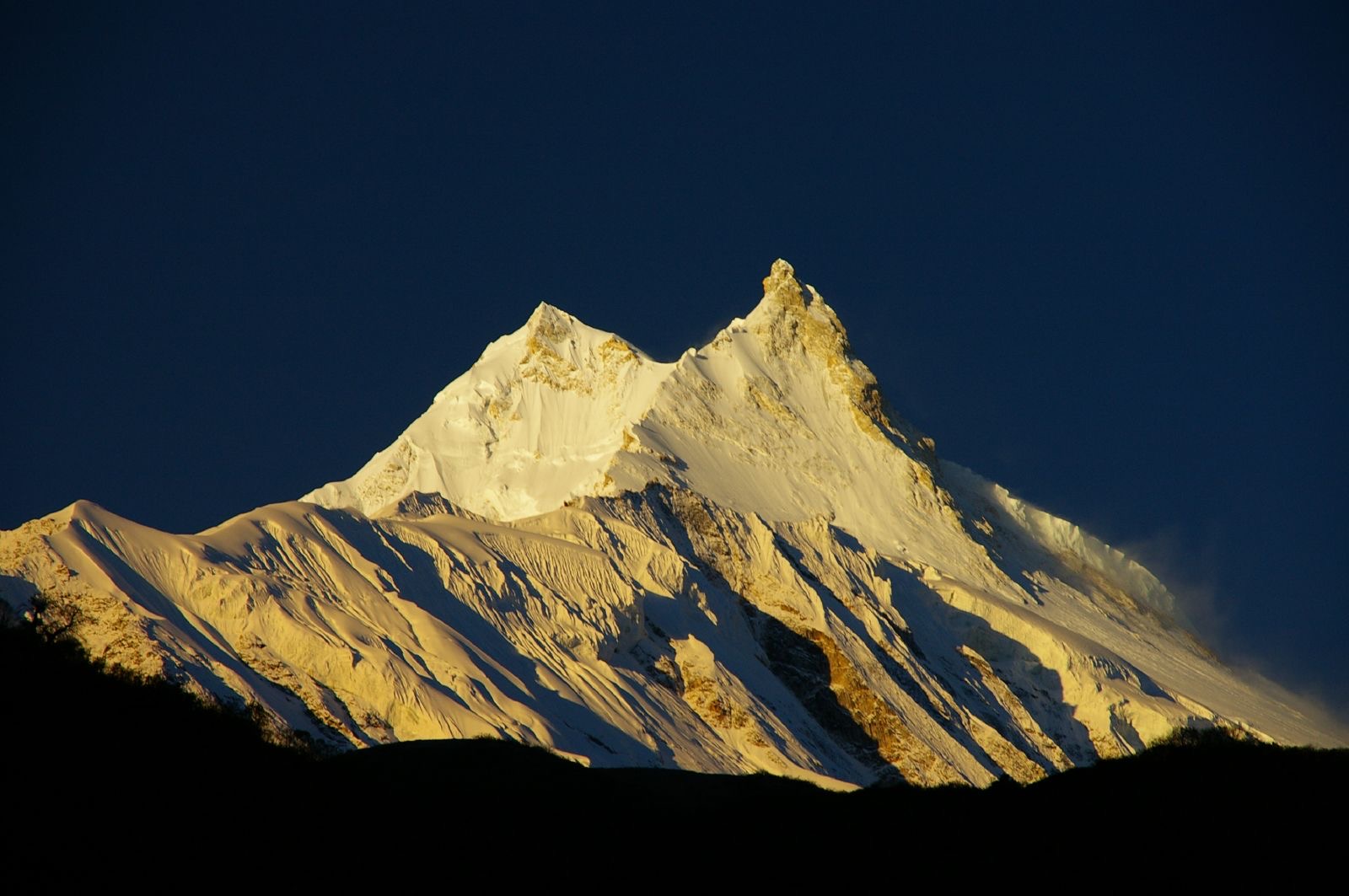
Manaslu
Legendary28.5500, 84.5597 · r=200m
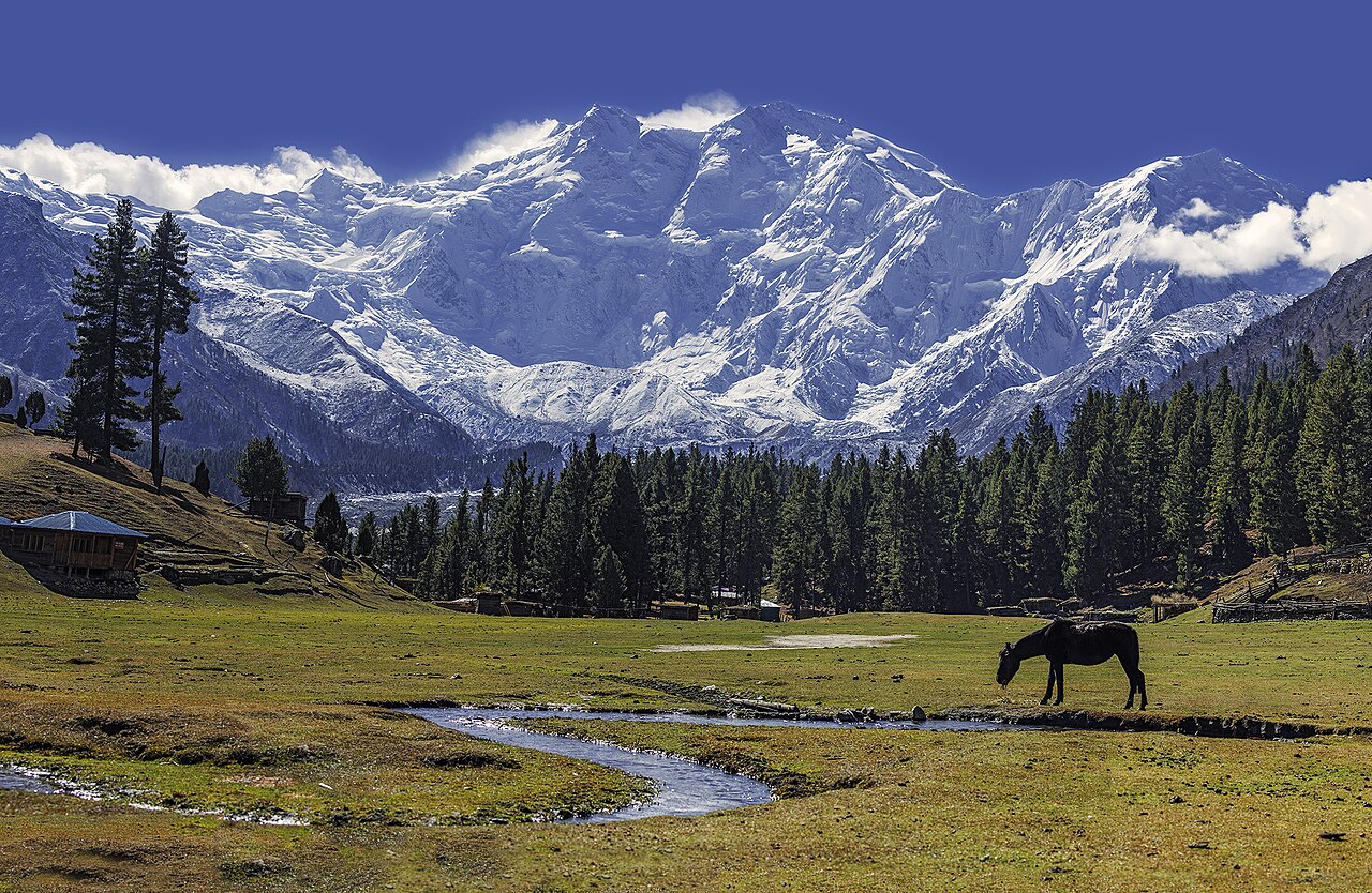
Nanga Parbat
Legendary35.2392, 74.5900 · r=200m
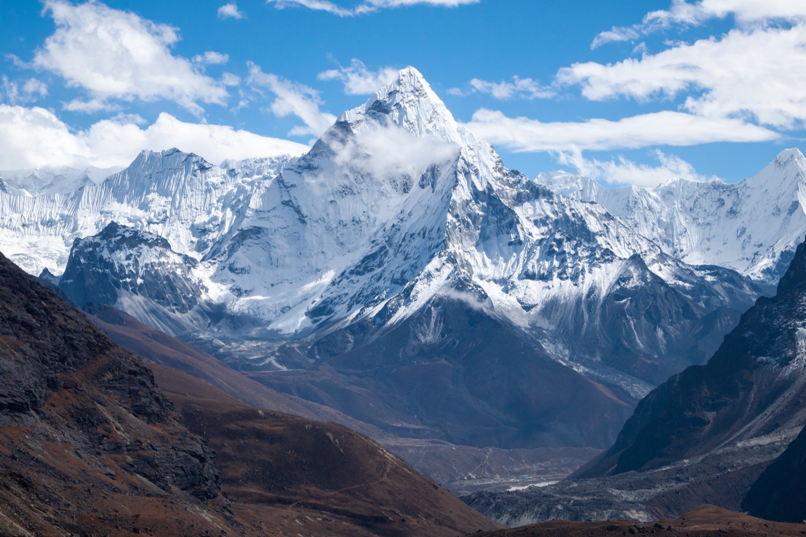
Ama Dablam
Rare27.8621, 86.8604 · r=100m
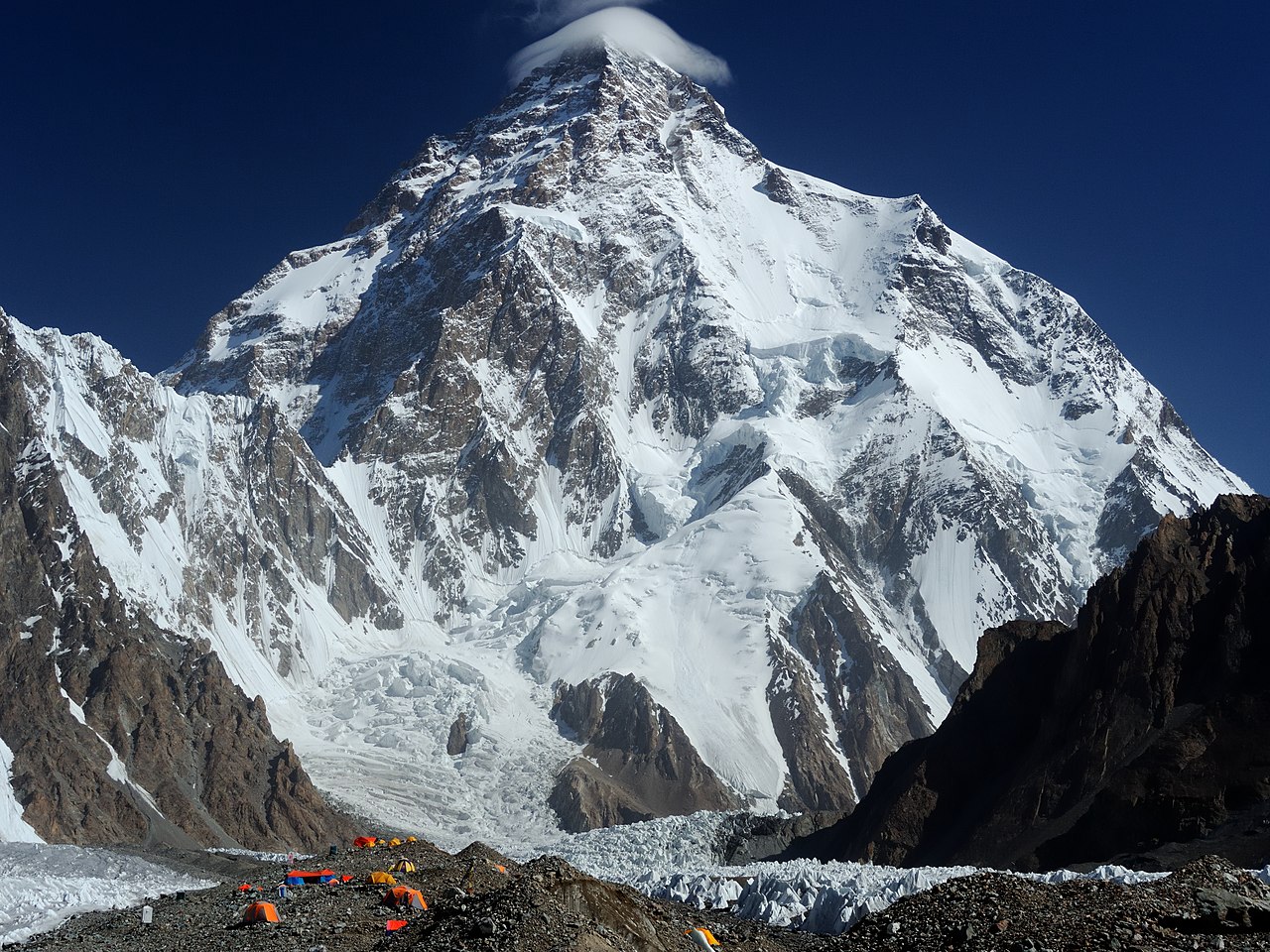
Karakoram
Andes
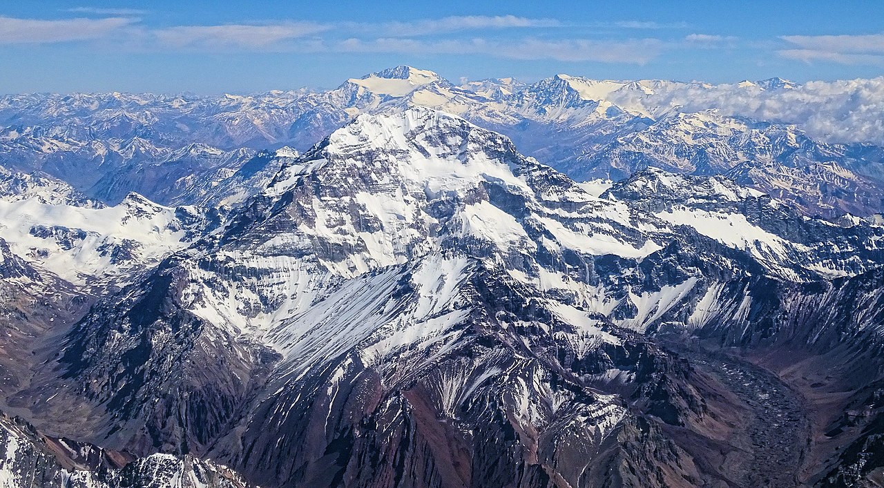
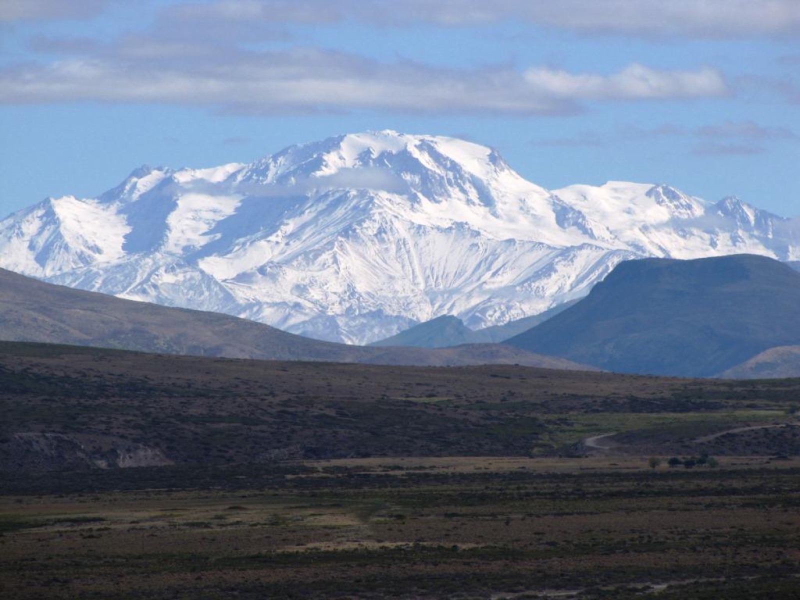
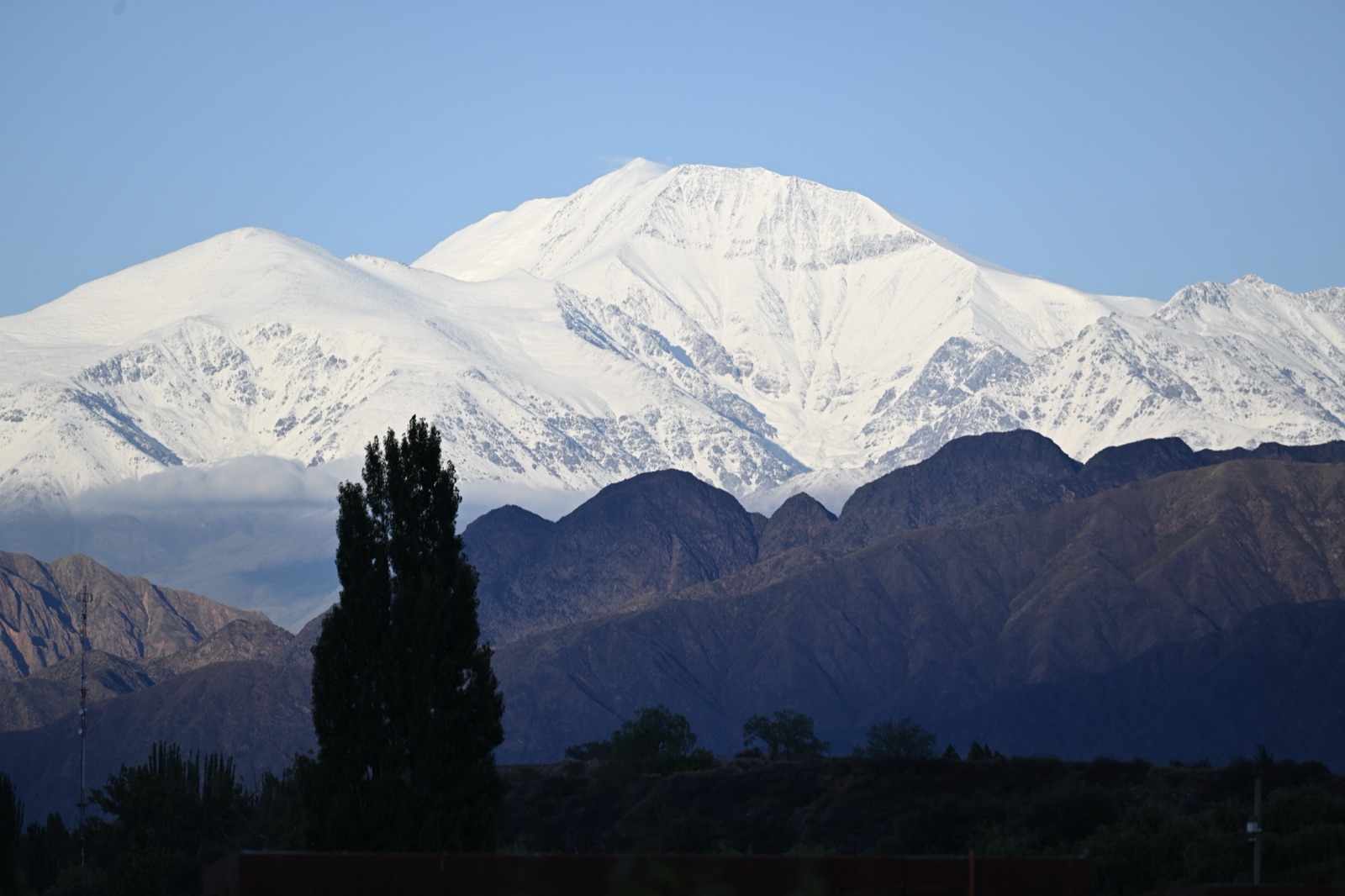
Aconcagua
Rare-32.6532, -70.0109 · r=200m
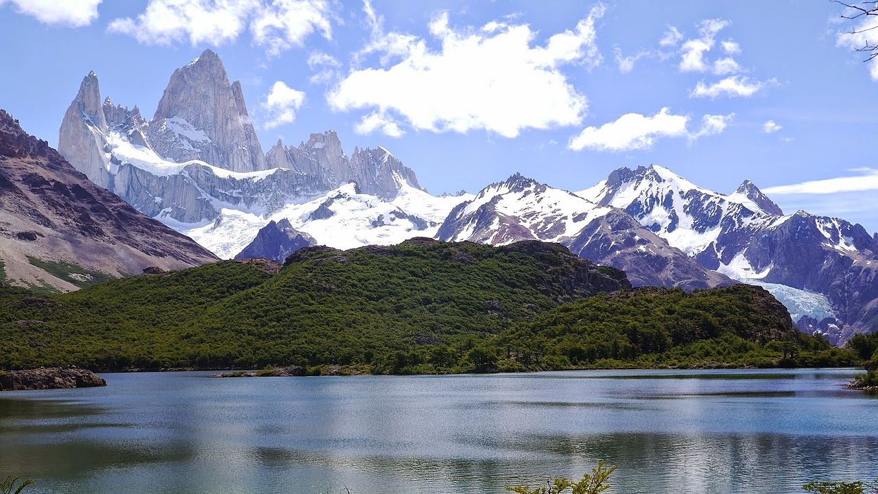
Fitz Roy
Uncommon-49.2711, -73.0436 · r=100m
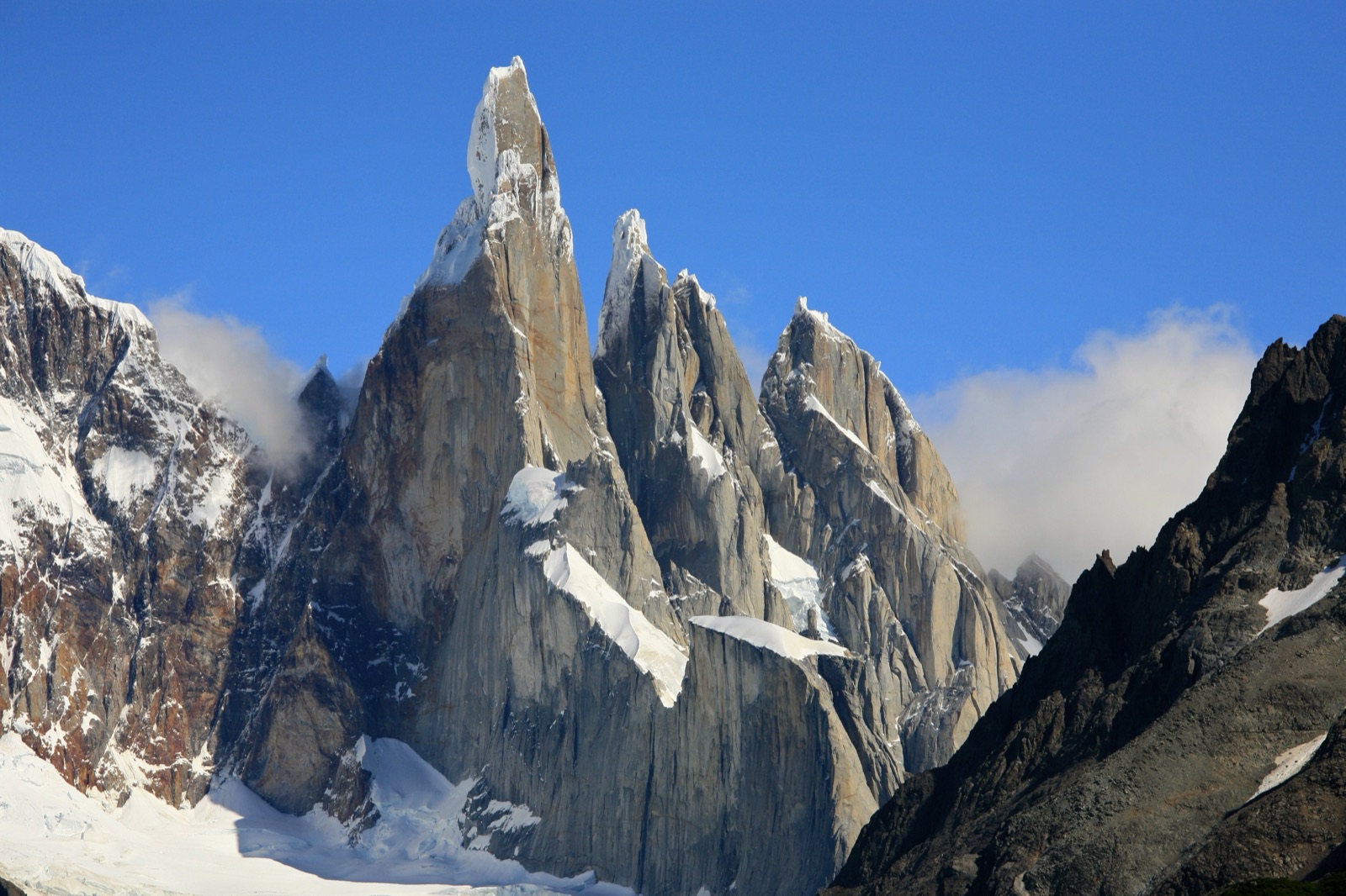
Cerro Torre
Uncommon-49.2919, -73.0992 · r=100m
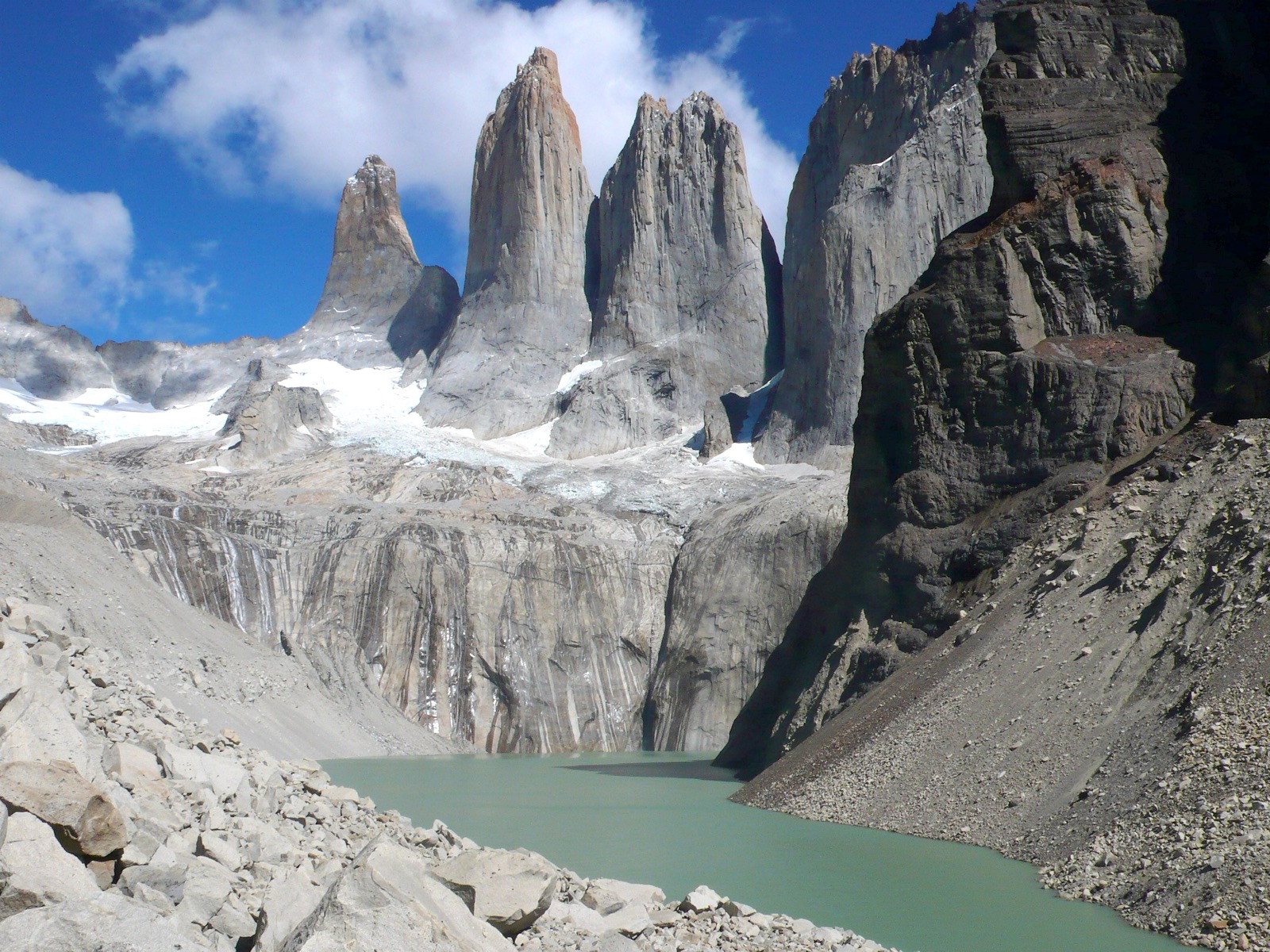
Torres del Paine
Common-50.9423, -72.9700 · r=500m
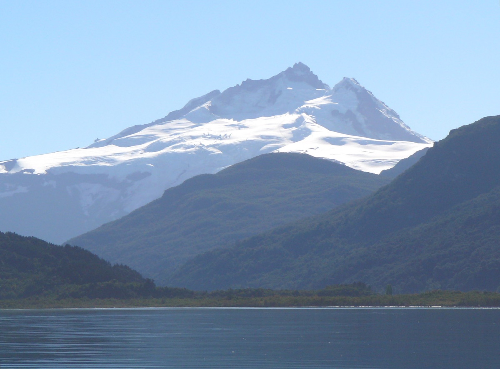
Huayna Potosí
Rare-16.2624, -68.1541 · r=200m
Cotopaxi
Rare-0.6806, -78.4378 · r=200m
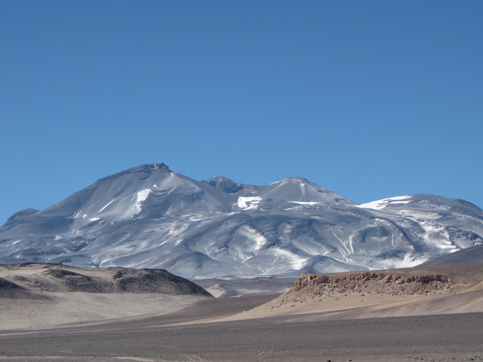
Ojos del Salado
Rare-27.1097, -68.5414 · r=200m
Huascarán
Rare-9.1212, -77.6043 · r=200m
Tronador
Uncommon-41.1608, -71.8875 · r=200m
Domuyo
Uncommon-36.6397, -70.4330 · r=200m
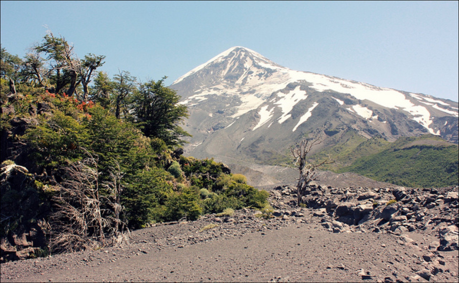
Lanín
Uncommon-39.6372, -71.5031 · r=200m
Cerro El Plata
Rare-33.0158, -69.4553 · r=200m
Cerro Vallecitos
Rareno coords — verification unavailable
Alps
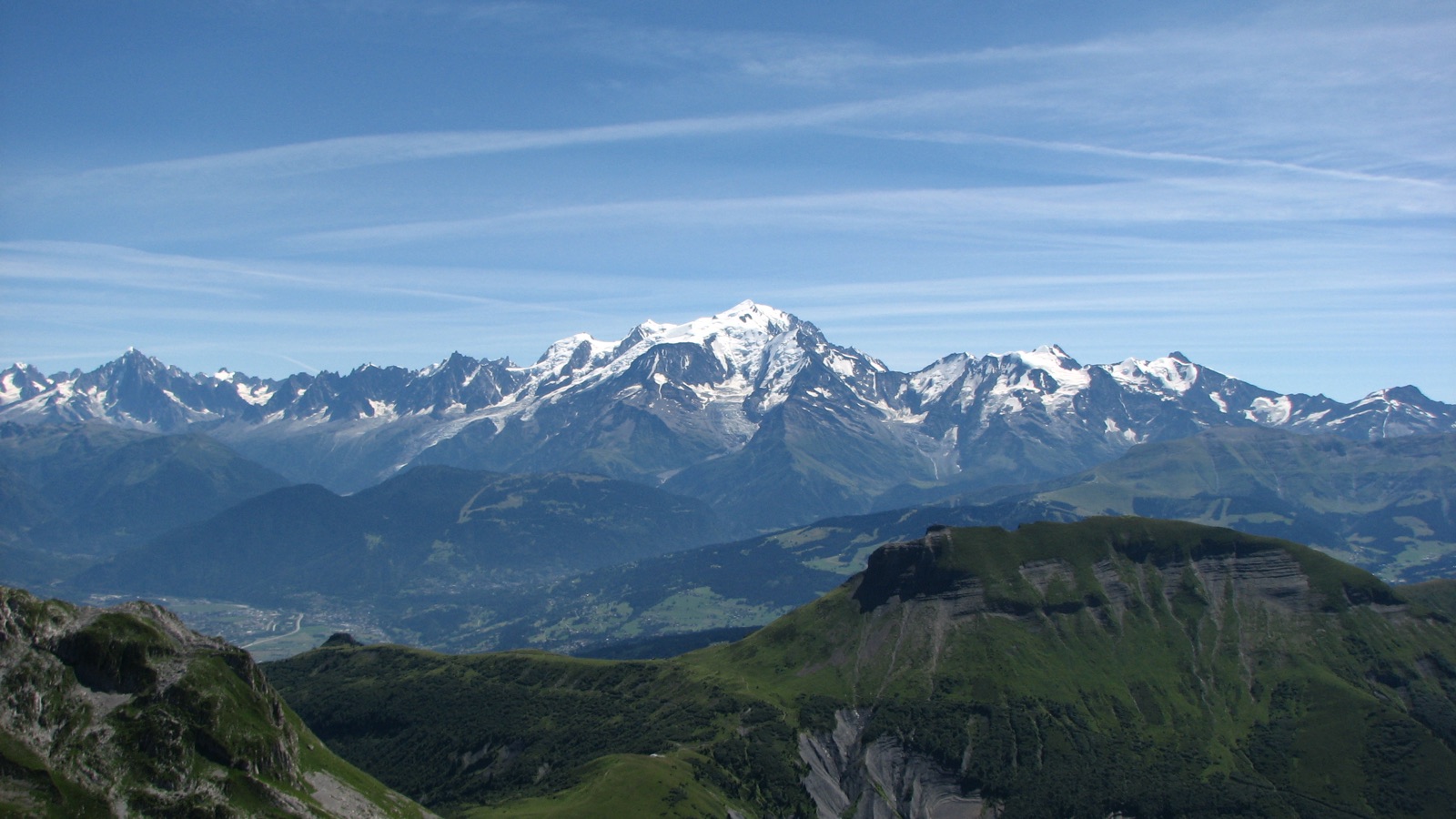
Mont Blanc
Uncommon45.8328, 6.8650 · r=200m
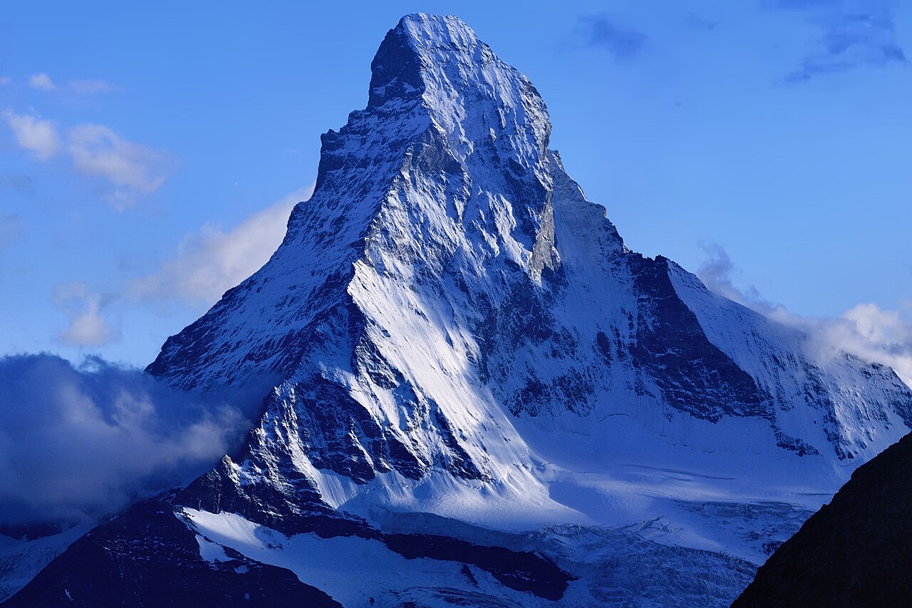
Matterhorn
Uncommon45.9764, 7.6586 · r=100m
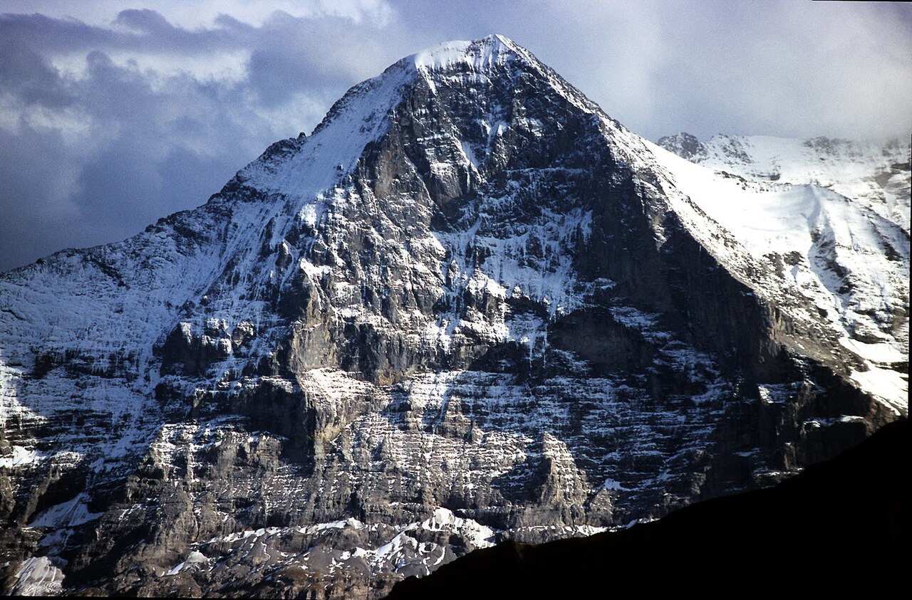
Eiger
Uncommon46.5776, 8.0055 · r=100m
Gran Paradiso
Uncommon45.5178, 7.2672 · r=200m
Großglockner
Uncommon47.0745, 12.6939 · r=100m
Jungfrau
Uncommon46.5368, 7.9626 · r=200m
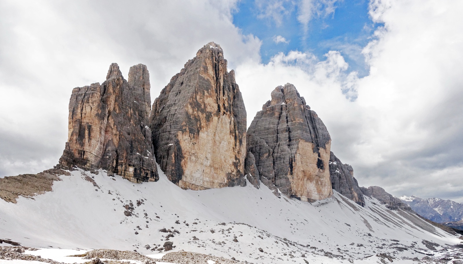
Dolomites
Julian Alps
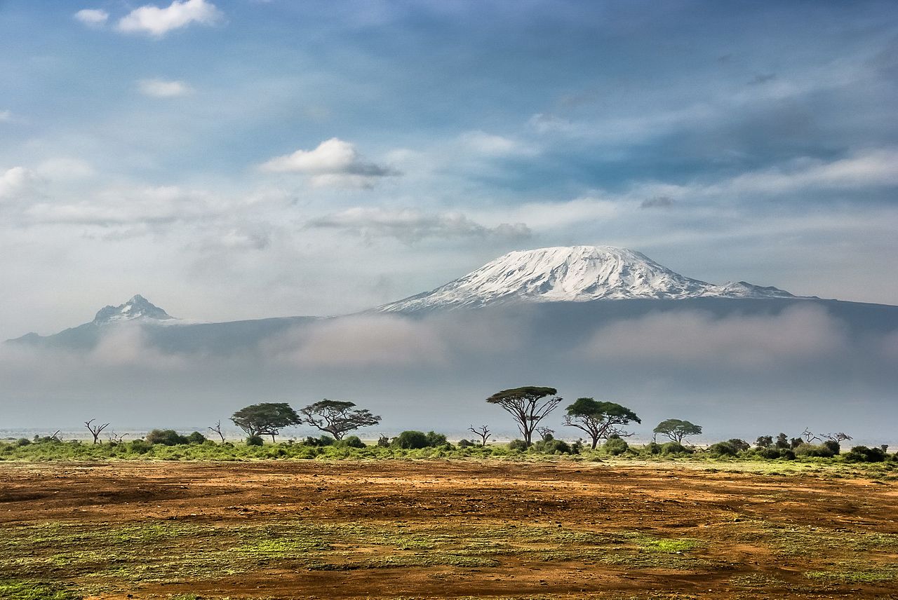
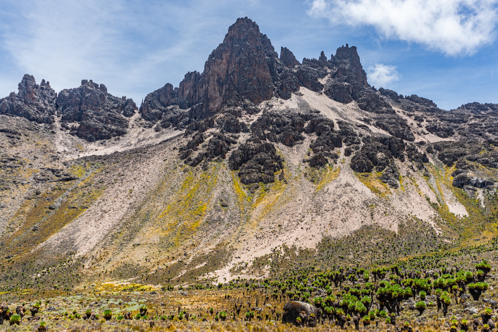
East Africa
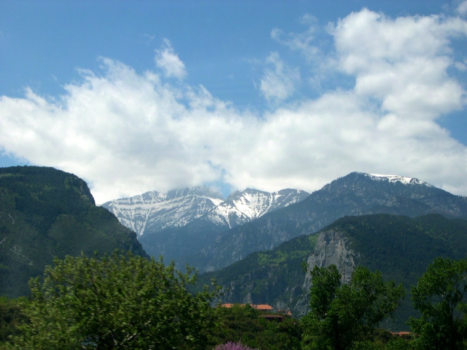
Balkans
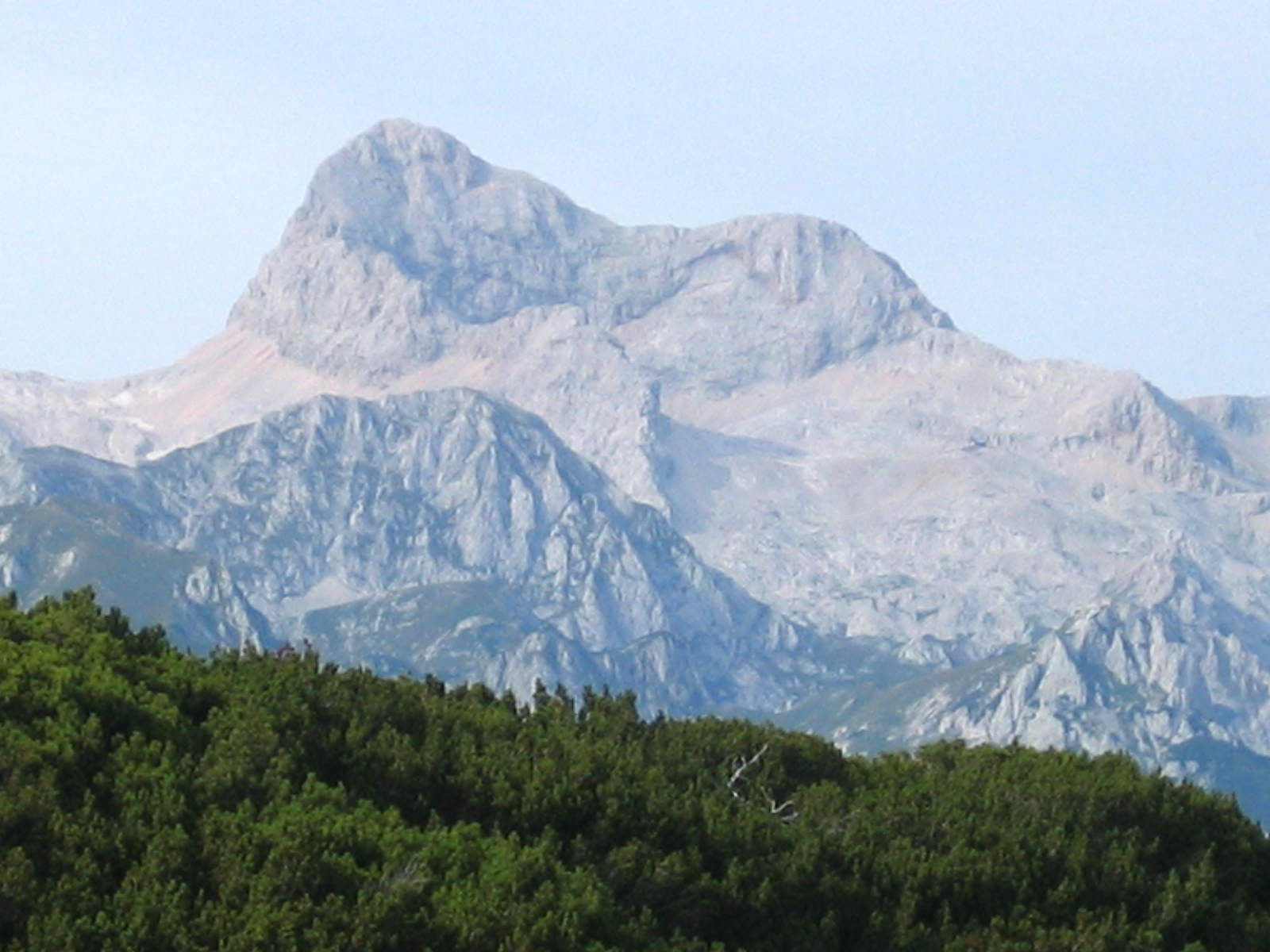
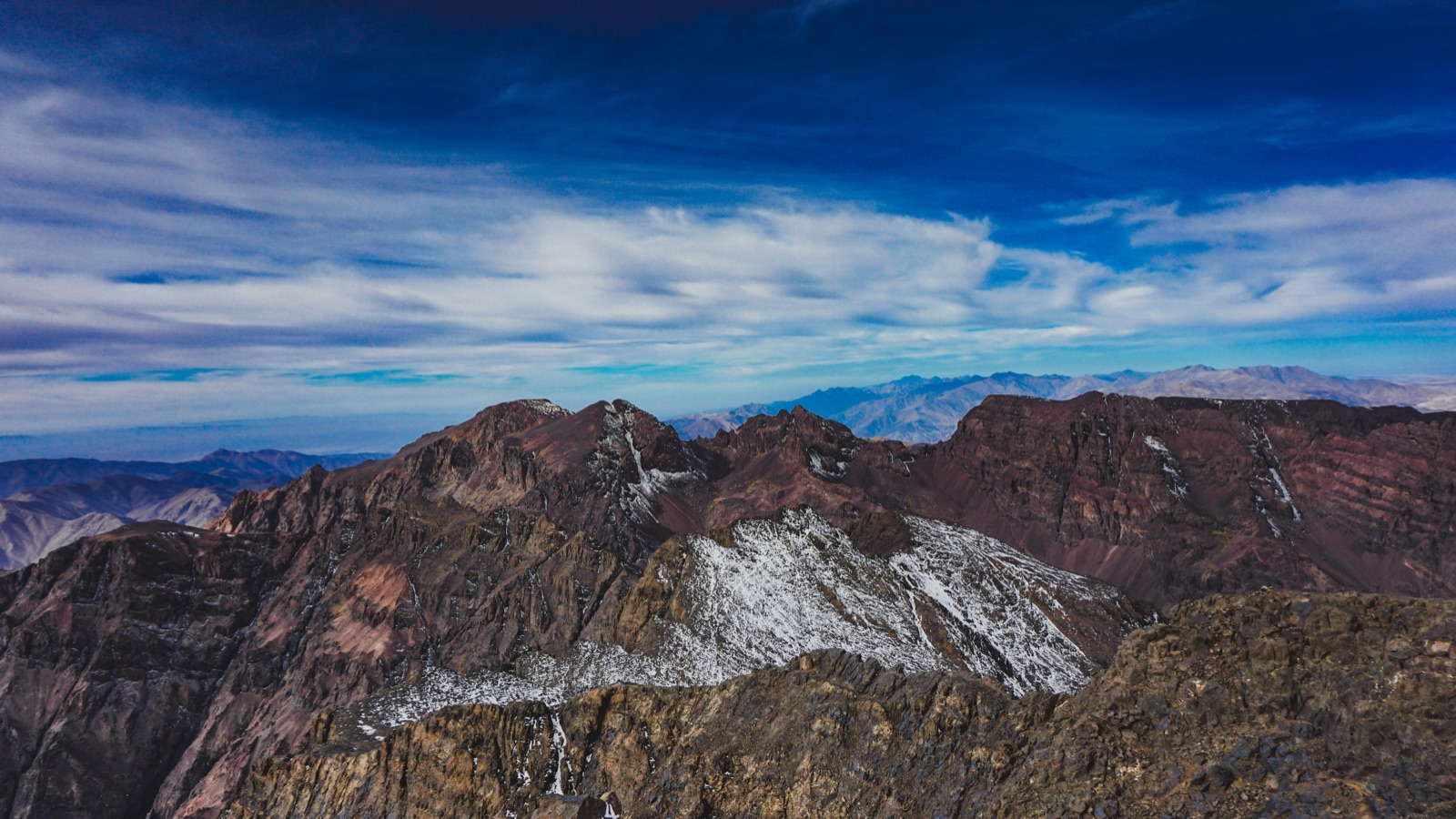
Atlas
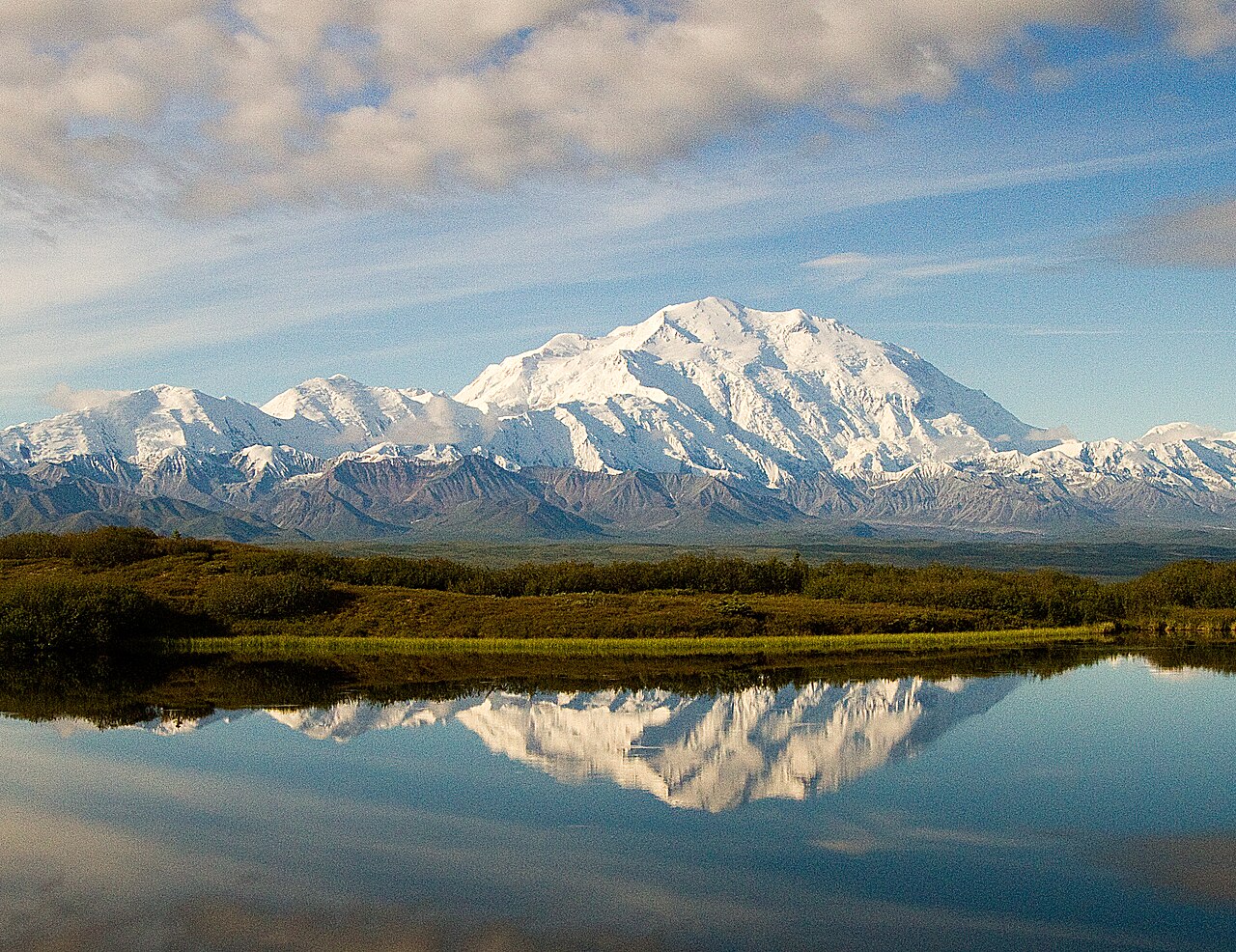
Alaska Range
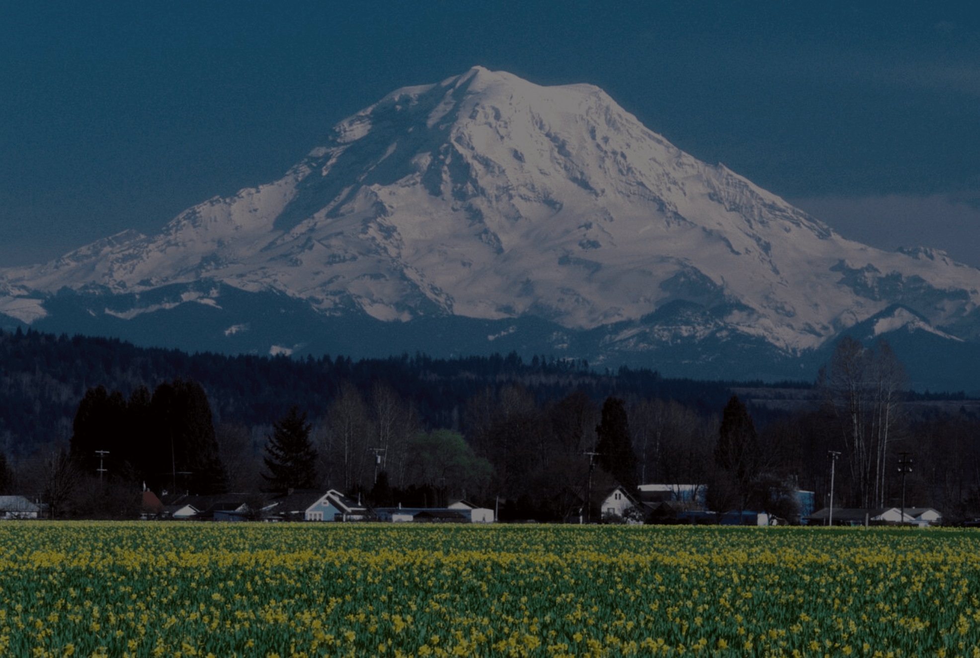
Cascades
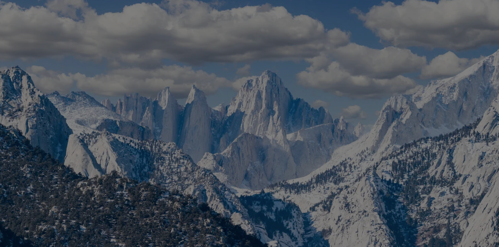
Sierra Nevada
Saint Elias
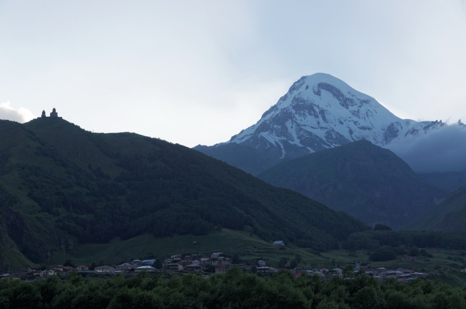
Caucasus
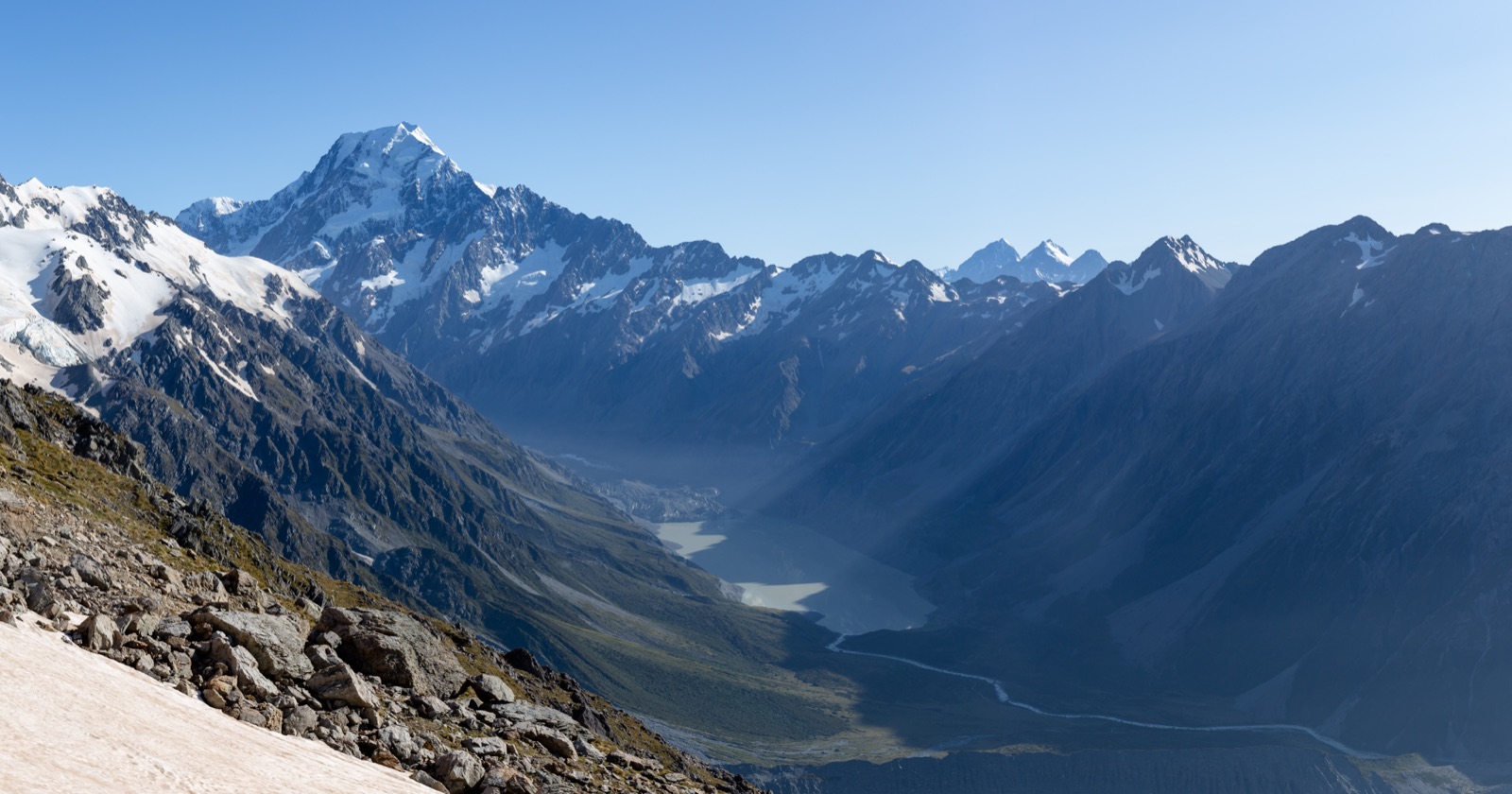
Southern Alps
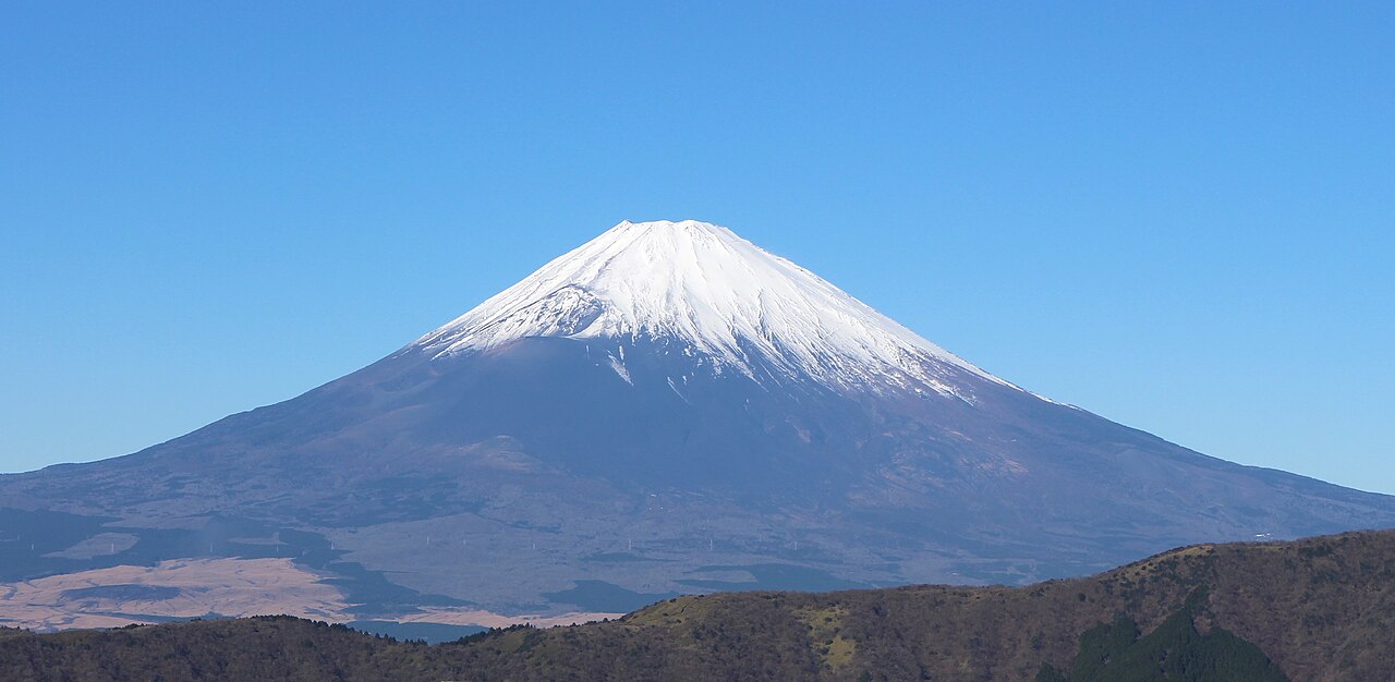
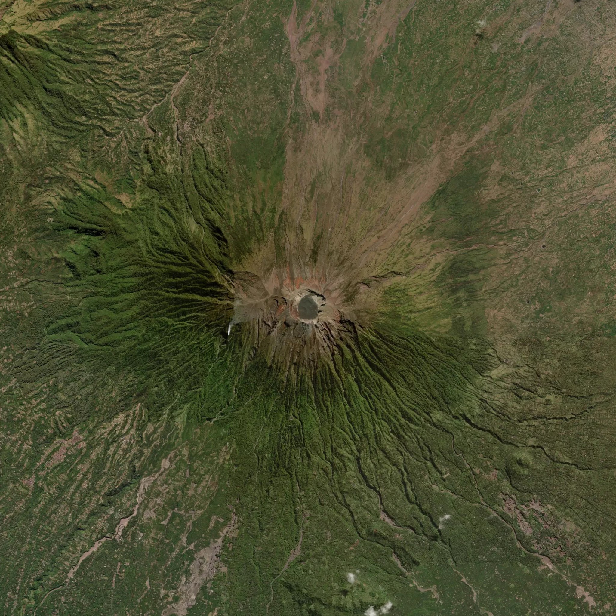
Fuji Volcanic Zone
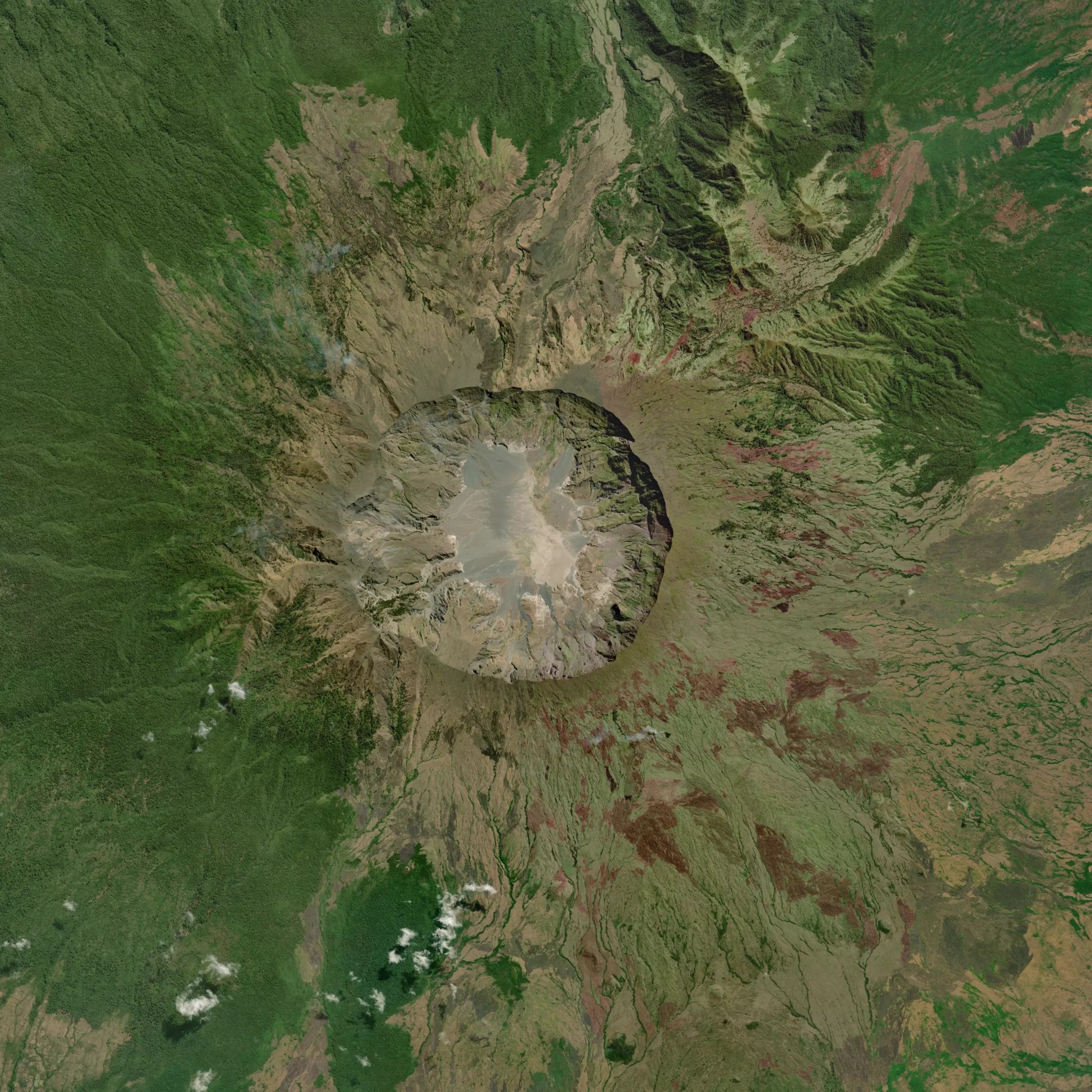
Lesser Sunda Islands
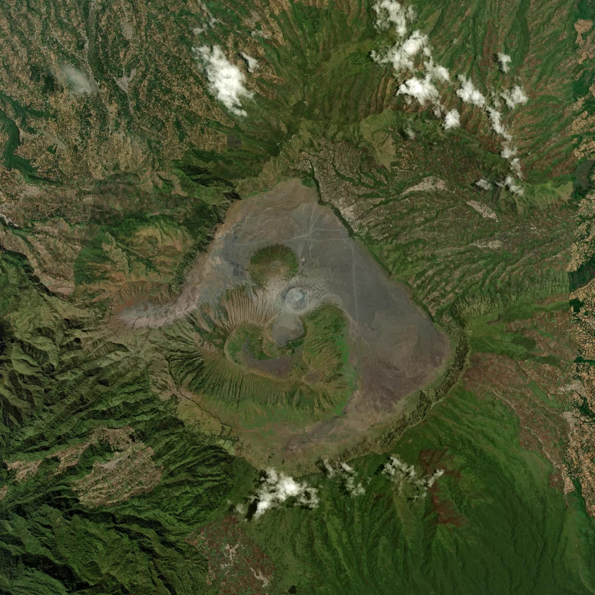
Tengger Massif
Bali
Sumbawa
Sources: every peak's coordinate carries an OSM node ID or Wikidata Q-ID in src/data/peak-coords.ts. Elevation tags on the source match the registry elevation within a few meters (rounding / datum differences). Discrepancies greater than that trigger a re-sourcing pass.
Torres del Paine is intentionally not in this index — it's a trek destination, not a single summit, and will be verifiable via GPX route matching when that layer ships (see proof-of-climb.ts).