
About
Honor the mountain.
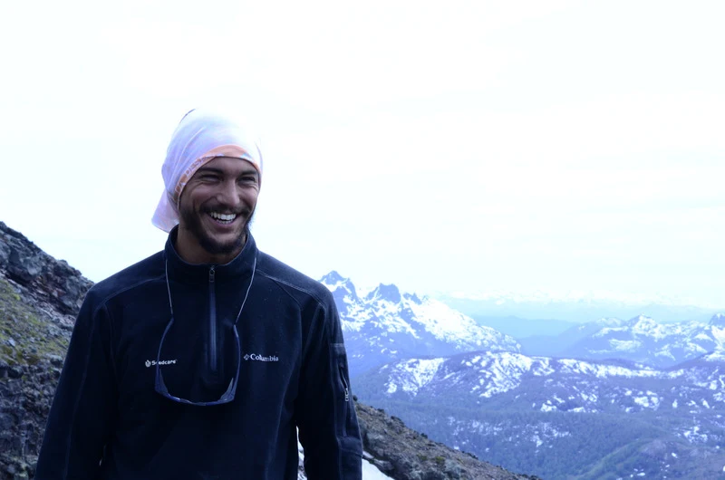
jtreks exists to document, share, and bring the world's great mountain ranges closer to people. The mountains deserve more than clickbait listicles and affiliate-driven advice. They deserve honest research, sourced facts, and the kind of respect that comes from actually standing on them.
Built by Julian Irigoyen — Argentine mountaineer, software engineer, and game developer. What started as trip research grew into sourced trekking guides, interactive 3D maps, a climbing game built on real satellite terrain, and a 3D-printed mountain keyring line. More is coming: safety and training guides, gear reviews, expeditions, and merch. The whole point is to learn, be safe, and share the stoke.
How we work
- Planning-critical claims trace to primary or named sources — government data, altitude medicine journals, rescue reports — with source links shown inline.
- When sources disagree, we publish the range honestly instead of picking one and pretending it's definitive.
- Articles are revised whenever the ground truth changes — permit prices, route closures, new altitude data — with the revision date noted.
What's coming
jtreks is growing beyond guides. Here's what we're building:
- Games. Ascenso — a mountaineering game built on real SRTM satellite terrain from Volcán Lanín. Climb the actual mountain in your browser.
- Safety & training. Altitude acclimatization protocols, gear checklists, weather interpretation, and rescue planning — sourced to medical and operational data.
- Gear. Gear reviews from people who actually carry this stuff up mountains. Recommendations based on what works, not who pays.
- Expeditions & merch. 3D-printed terrain keyrings from real elevation data. Expedition planning tools. Community events.
The thesis
Mountains are not content. They're places that demand preparation, respect, and honesty about what you'll face up there. jtreks exists to give you the facts — sourced, updated, and free — so you can make your own decisions. Study. Train. Go. Come back. Repeat.
How this is made
A lot of this content was made with the help of artificial intelligence. I make a point of reading it, and re-reading it, and reading it again — but there is always the chance something slips past me, or that one of the figures is wrong. If you see something, please do not hesitate to write to me. I use these guides myself, and the goal is to share the information so trips get organised better and faster, and obviously more safely.
Get in touch
Spotted an error? Have better data? Want to contribute? Contact us. Every correction gets a visible update and a linked source.
From the mountain
Photographs from the routes on this site.