Geology · Forged by subduction
Aconcagua
Switched off by a flat slab, lifted to the roof of the Americas
Andean orogeny — Aconcagua fold-and-thrust belt (Pampean flat-slab segment)Aconcagua Volcanic Complex ~15–8 Ma; main shortening early–middle Miocene; magmatism and deformation ceased here in the late Miocene as the slab flattened — the segment remains amagmatic todayNazca plate (carrying the Juan Fernández Ridge) subducting subhorizontally beneath the South American plate🌋 none today — deeply eroded remnants of a Miocene volcanic complex; not a volcanic edifice — NOT an active volcano — Aconcagua appears neither in SEGEMAR's active-volcano risk ranking nor in the Smithsonian GVP Holocene volcano list. Volcanism here ended in the late Miocene (summit andesite K-Ar 9.63 ± 0.44 Ma; Godoy, Andean Geology) when the Nazca slab flattened beneath this segment, shutting off the magma supply (Ramos & Folguera 2009; Frontiers in Earth Science 2023).
Aconcagua is the highest mountain in the Americas — 6,960.8 m according to Argentina's Instituto Geográfico Nacional, fixed by GPS geodesy and gravimetry in 2011–2012 — and it is not a volcano. Not anymore. Its summit rocks are lavas, its valleys hold seafloor fossils, and the whole stack was hoisted nearly seven kilometres by a subduction system that, right here, stopped making volcanoes and started making mountains instead.
The story begins under water. In the Mesozoic, marine basins along this margin accumulated sediments — including Jurassic limestones rich in oyster fossils (Oxfordian La Manga Formation) that still crop out in the Cuevas and Horcones valleys (Frontiers in Earth Science, 2023). Andean compression then arrived in pulses: one in the Late Cretaceous, another between the Paleocene and middle Eocene, and the main shortening phase in the early–middle Miocene, which stacked those seafloor rocks into the Aconcagua fold-and-thrust belt against the older basement of the Frontal Cordillera (Neoproterozoic to Triassic rocks, including the Choiyoi Group).
While the thrust sheets were stacking, this was an active volcanic arc. The Aconcagua Volcanic Complex erupted andesitic lavas, breccias and pyroclastic rocks between roughly 15 and 8 million years ago (Frontiers, 2023); hornblende from an andesite in the summit strata gives a K-Ar age of 9.63 ± 0.44 Ma, and geologists read today's peak as the deeply eroded remnant slopes of a huge Miocene volcano (Godoy, Andean Geology).
Then the arc died. At these latitudes — roughly 27° to 33°S — the Nazca slab, carrying the buoyant Juan Fernández Ridge, flattened beneath South America into the Pampean flat-slab segment (Ramos & Folguera, 2009). A flat slab squeezes out the hot mantle wedge where arc magmas are born, so melting stops: magmatism and deformation in the Aconcagua belt shut down together in the late Miocene, and the segment remains amagmatic today (Frontiers, 2023). That is why the highest Andes carry no active volcano — the horizontal compression a flat slab transmits into the continent kept shoving the dead arc and its folded seafloor skyward instead of feeding eruptions.
Today, ice and hot water do the finishing work. Below the immense South Face, the debris-covered Horcones Inferior Glacier is a surge-type glacier: between 2002 and 2006 it accelerated from near-stagnation to 14 m per day and its front advanced 3.1 km (Pitte et al., 2016, IANIGLA-CONICET). And at the park gate, thermal mineral springs cementing debris over the Río Cuevas built Puente del Inca, a natural travertine bridge (SEGEMAR; CONICET) — a small, warm echo of the deep heat this mountain once commanded.
What you can see on the trail
Puente del Inca — a travertine bridge built by hot springs
📍 Puente del Inca village on RN 7, just east of the Horcones park entrance
Thermal, mineral-rich waters cemented rockfall and glacial debris over the Río Cuevas into a natural travertine bridge (SEGEMAR; CONICET). The yellow-orange crusts are minerals precipitated by those same waters — the springs still stain the slope today.
The South Face — a 15–8 Ma volcano in cross-section
📍 Plaza Francia viewpoint, at the head of the Horcones Valley trail from Confluencia
The immense wall above Plaza Francia exposes stacked lavas and volcanic breccias of the Miocene Aconcagua Volcanic Complex (15–8 Ma; a summit andesite is dated 9.63 ± 0.44 Ma). You are looking into the eroded interior of a volcano that died when the slab flattened.
Horcones Inferior Glacier — a surging, debris-covered glacier
📍 Confluencia to Plaza Francia trail, along the upper Horcones valley floor
The grey, rubble-covered ice below the South Face is a surge-type glacier: in 2002–2006 it accelerated from near-stagnation to 14 m per day and its front advanced 3.1 km down-valley (Pitte et al. 2016, IANIGLA-CONICET).
Folded seafloor — Jurassic marine limestone in the valley walls
📍 Quebrada de Horcones, between the park gate and Confluencia
The tilted and folded coloured bands in the valley walls include Jurassic marine limestones rich in oyster fossils (Oxfordian La Manga Formation; Frontiers in Earth Science, 2023) — proof that rock now standing near 7,000 m began as seafloor, stacked and folded by the Aconcagua fold-and-thrust belt.
Fun fact
The Americas' highest summit was fixed at 6,960.8 m by GPS geodesy and gravimetry in 2011–2012 — its summit rocks are lavas of a volcano dead for over 9 million years, while oyster-bearing seafloor limestone folds through the valleys below.
Rocks: Miocene andesitic lavas, breccias and pyroclastic rocks (Aconcagua Volcanic Complex, ~15–8 Ma) · Jurassic oyster-bearing marine limestone (Oxfordian La Manga Formation) · Mesozoic marine sedimentary sequences of the fold-and-thrust belt · Neoproterozoic–Triassic basement of the Frontal Cordillera (incl. Choiyoi Group) · travertine (Puente del Inca)
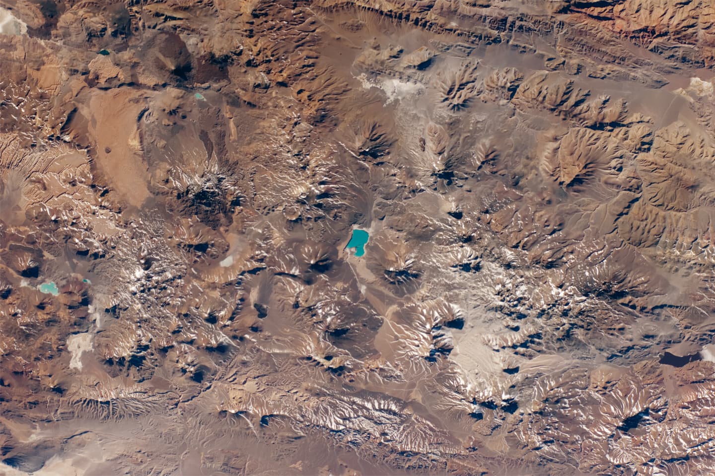
What this process looks like