

Recherche de trekking sourcée
Si vous le faites,
Faites-le bien.
Des guides indépendants sur les grandes chaînes de montagnes du monde.
Les faits critiques pour la planification portent sources, contexte de mise à jour et historique de correction.
Destinations
33 destinations
Grands sommets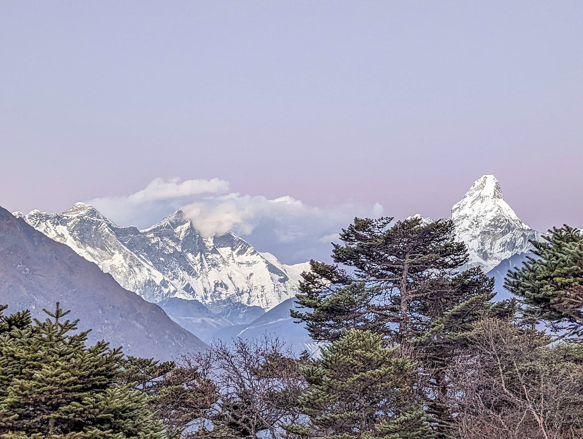
Himalaya
Nepal
Everest, Annapurna, Langtang
Alps
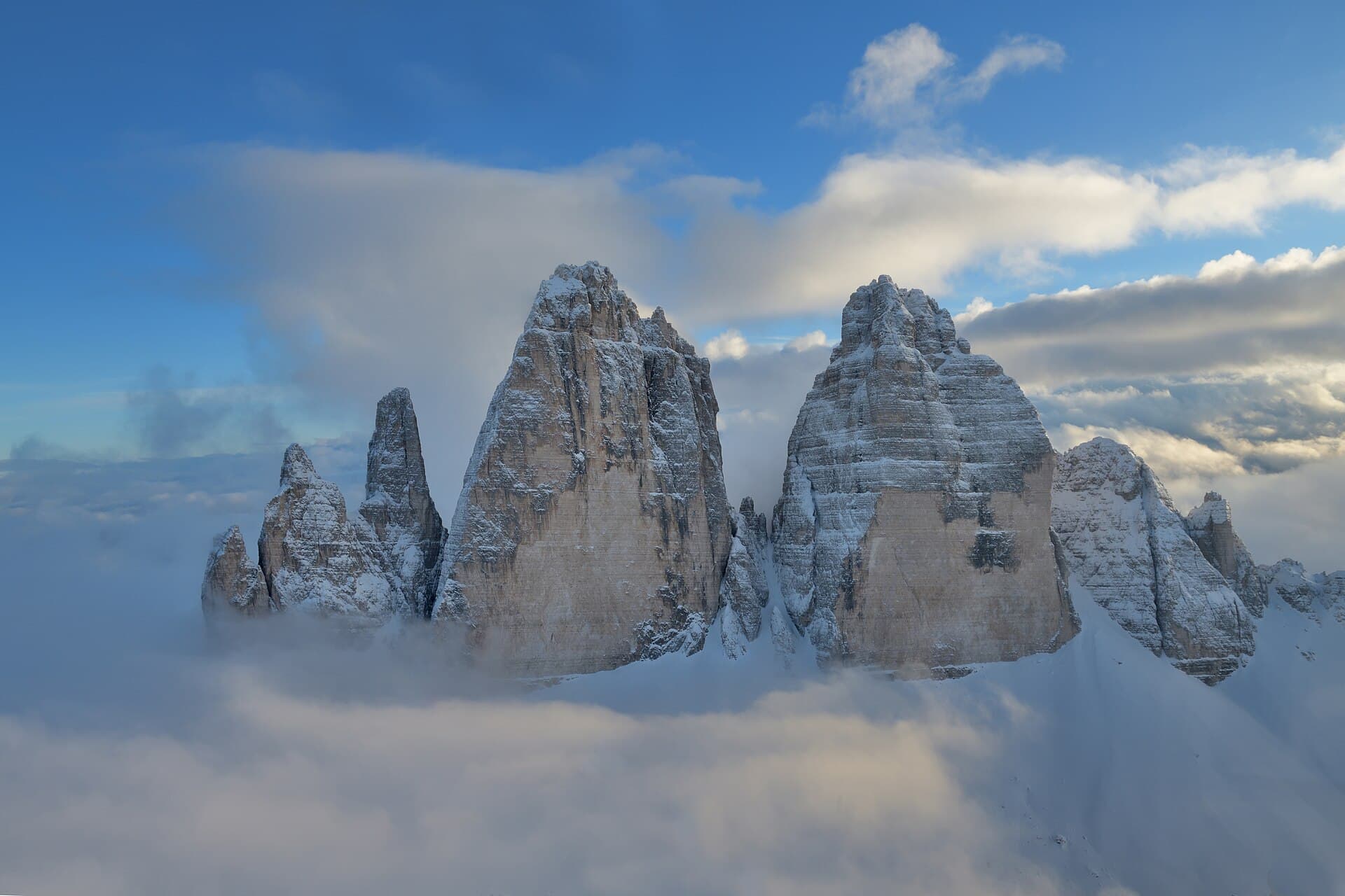
Dolomites
Alta Via 1, via ferrata, Tre Cime, rifugio culture
Alps
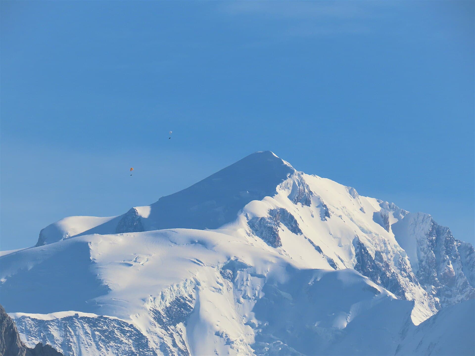
Chamonix / TMB
Tour du Mont Blanc, Haute Route, Mer de Glace
Andes
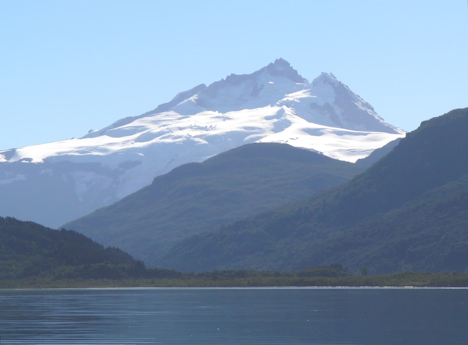
Bariloche
Nahuel Huapi, Refugio Frey, Jakob, Laguna Negra
Andes
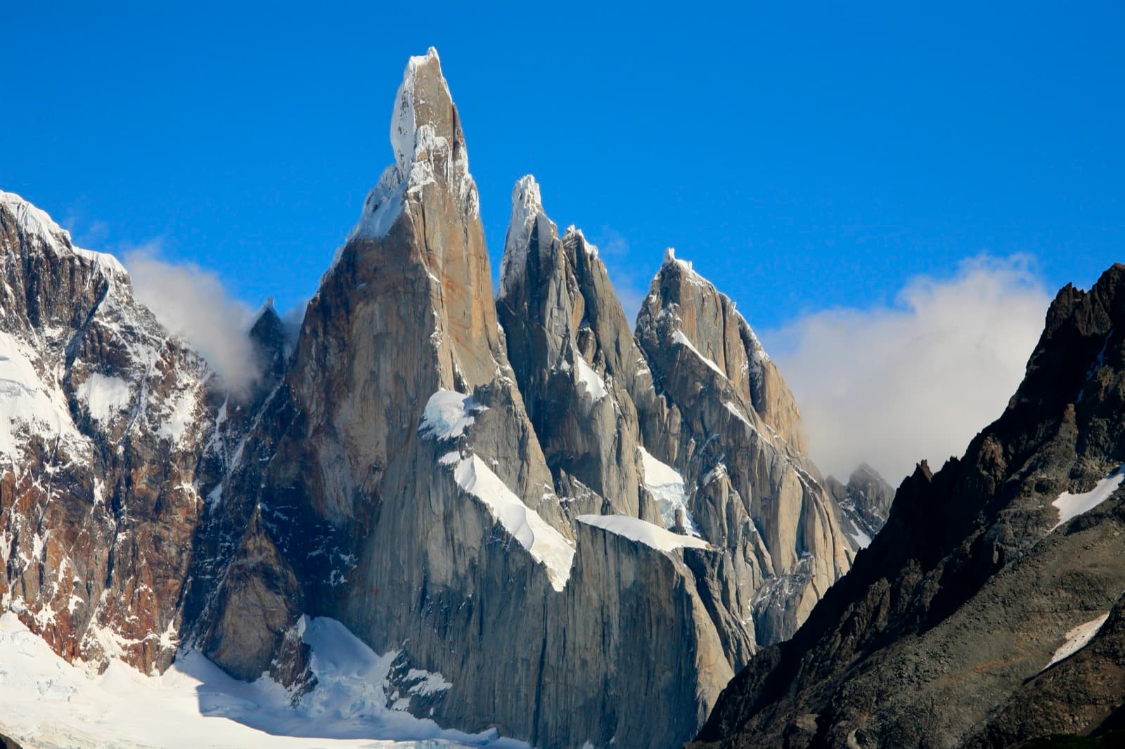
El Chaltén
Fitz Roy, Cerro Torre, Huemul Circuit
Himalaya
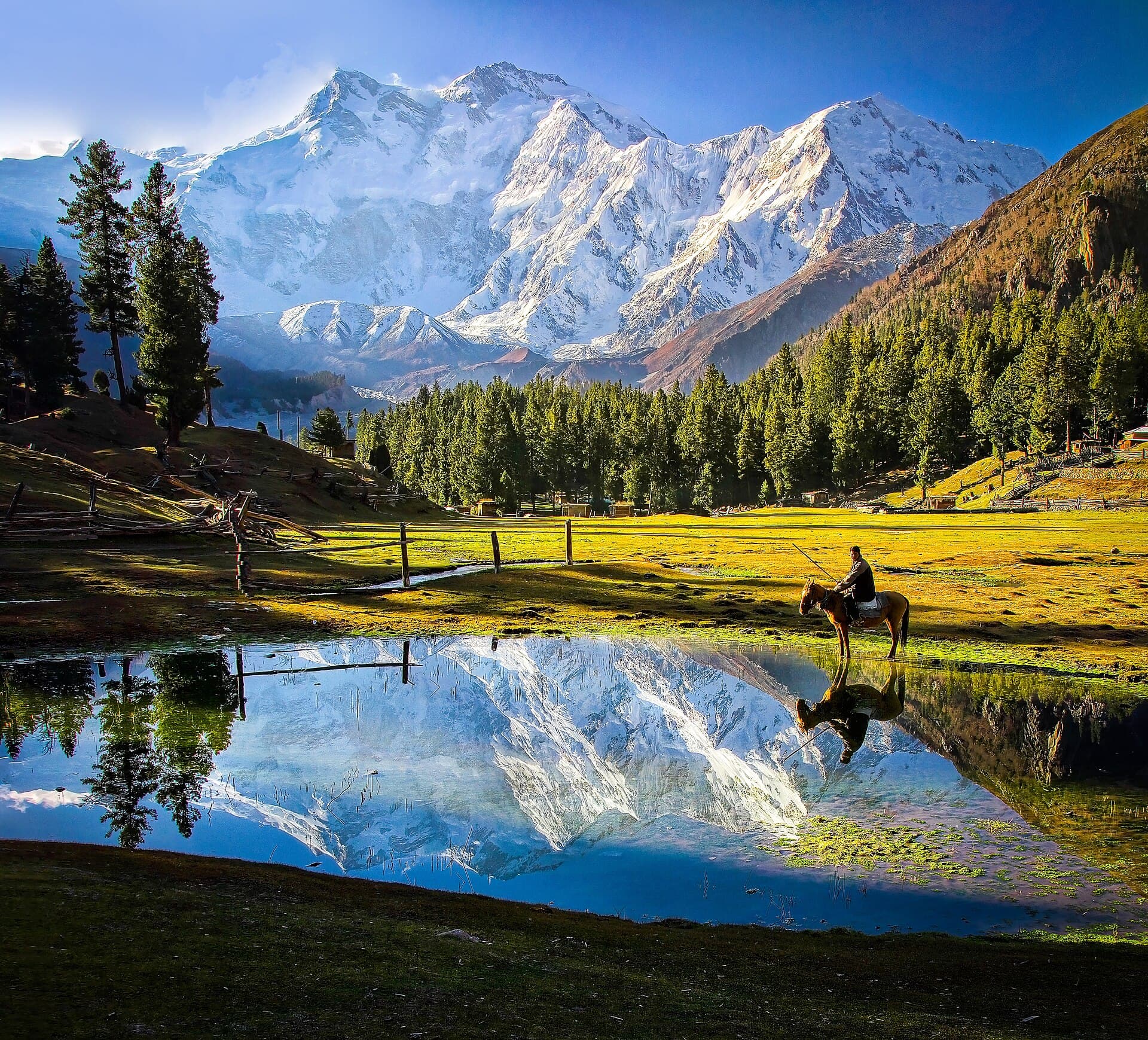
Pakistan (Karakoram)
K2 Base Camp, Concordia, Fairy Meadows
- Aconcagua
- Austrian Tyrol
- Grand Canyon
- Arches & Canyonlands
- Yellowstone
- Ladakh & Zanskar
- Domuyo
- Torres del Paine
- Cusco & Inca Trail
- Pyrenees
- Bernese Oberland
- Kilimanjaro
- Colorado 14ers
- Denali
- Hawai'i
- New Zealand Great Walks
- Japanese Alps
- Indonesia
- Krasnoyarsk Pillars (Столбы)
- Egypt
- Ojos del Salado & the Puna 6Ks
- Virginia Appalachians
- Lanín
- Huayhuash
- Iceland
- Benasque
- Interlaken
Depuis le sentier
Récits de première main sur les itinéraires que nous documentons — photographiés en montagne, placés au point où ils se sont produits.
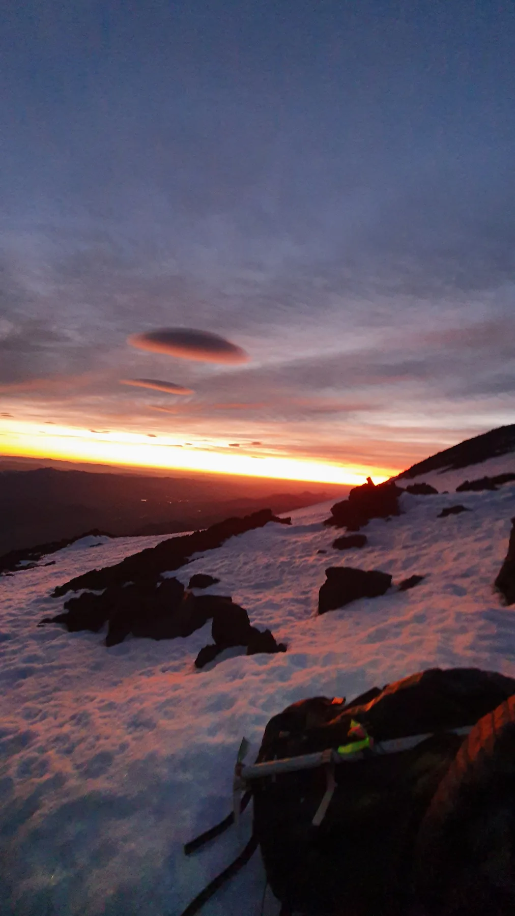
Two lenticulars at first light
06:11, above the refugios. Sunrise put the whole lake district in silhouette and lit two lenticular clouds directly over the range.
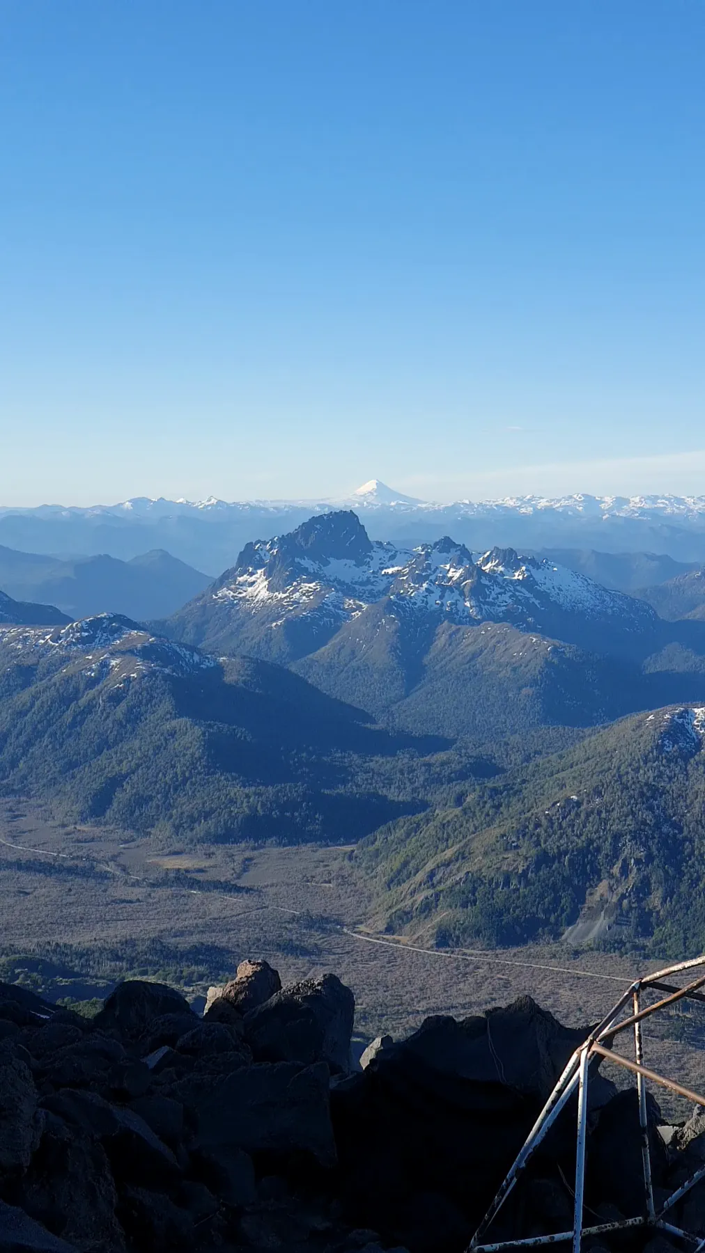
Last light at the yellow refugio
Camp is at 2,400 m, on the Tromen side. The refugio is guyed to the rock with steel cable because the wind here does not negotiate — you can see the anchors running out of frame in both directions.
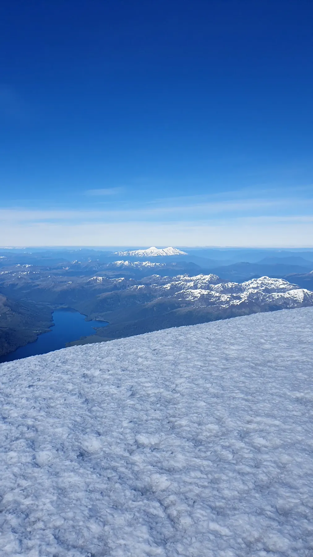
3,776 m, three hours forty after sunrise
09:52 on 2 November 2021. From first light on the slope to the summit was three hours and forty minutes.
Expéditions
Documentés. Maintenant, parcourus.
Des groupes fondateurs se constituent — gratuit, sans engagement.
Late June – early July 2027
Alta Via 2 — Dolomites
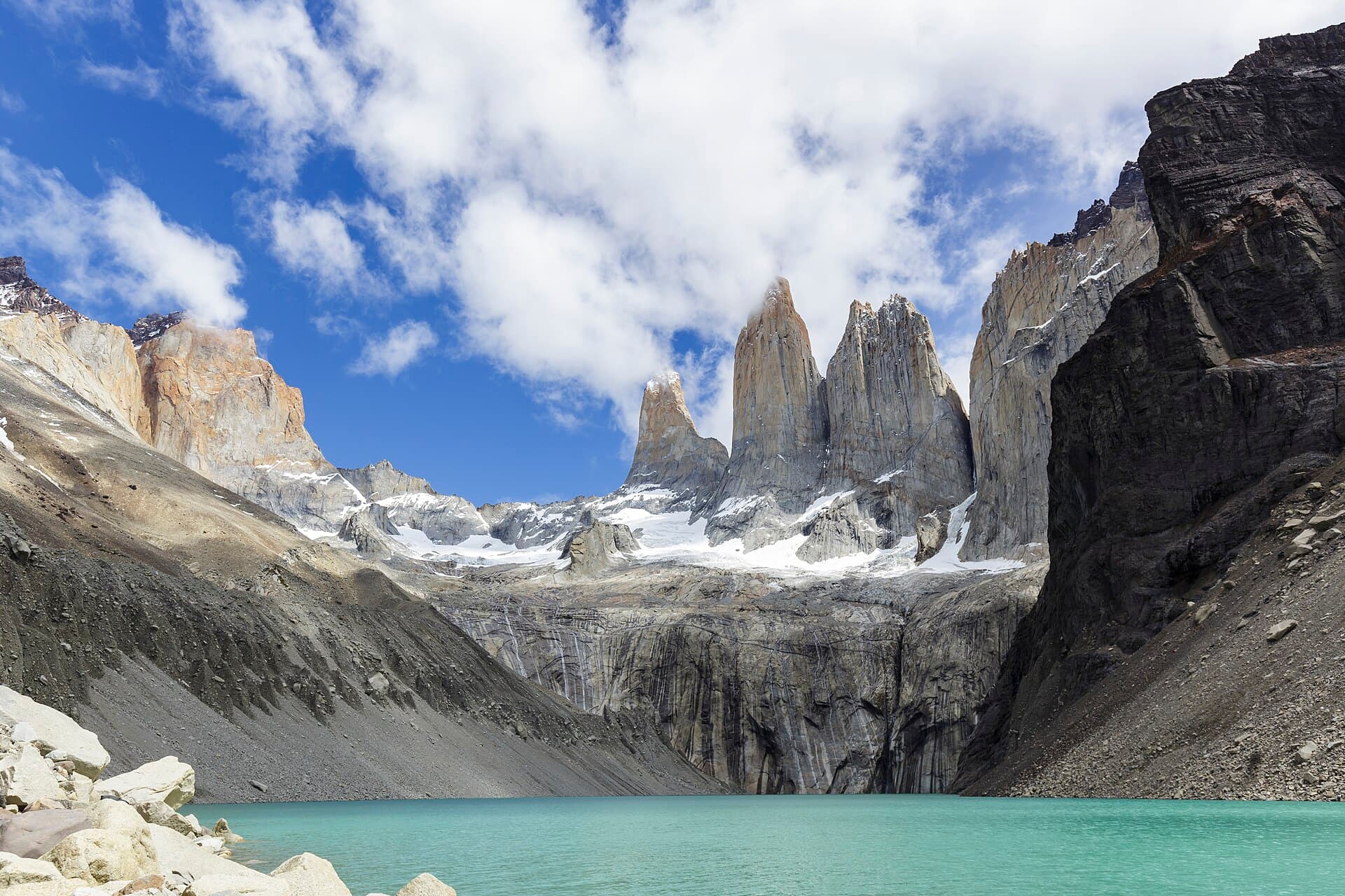
November 2026 – February 2027
Torres del Paine — W Trek
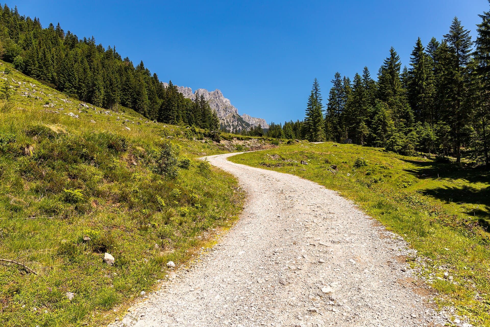
July – August 2027
Austrian Tyrol — Hut to Hut
Vols
Survolez la montagne avant de réserver
Deux itinéraires reconstruits à partir des mêmes données d’altitude publiques que les cartes, sous forme de pages à faire défiler. La caméra monte, l’horloge tourne, et la ligne relevée se dessine sur la pente.
 Survoler cet itinéraire
Volcán Lanín — Guided Ascent
Scroll the summit day hour by hour, 02:00 to 10:00. The sky lightens as you gain the cone, and the surveyed Tromen route draws itself up the slope as far as you have climbed.
Survoler cet itinéraire Survoler cet itinéraire
Aconcagua — Ruta 360 Traverse
Fly the 21-day traverse over the mountain's own elevation data, from the Vacas valley to 6,961 m and out by Horcones. The altimeter reads the camera's real altitude the whole way.
Survoler cet itinéraireThe jtreks research digest
Get the research before you book anything.
One email every couple of weeks with new articles, price updates, permit changes, and the things agencies won't tell you. Sources linked inline. Unsubscribe anytime.
Free. No spam. Unsubscribe anytime.

Conquérez les plus grands sommets du monde.
Documentez-le sur jtreks. Gravissez-le dans Ascent.
Sources primaires
La recherche jtreks recoupe les sources primaires entre portails gouvernementaux, références géographiques et travaux évalués par des pairs.
- NTBNepal Tourism BoardNepal
- CNFCONAFChile
 Parques NacionalesArgentina
 SERNANPPeru
 Club Alpino ItalianoItaly
 Swiss Alpine ClubSwitzerland
 Österreichischer AlpenvereinAustria
- FFCFFCAMFrance
 Tanzania National ParksTanzania
Department of ConservationNew Zealand
National Park ServiceUnited States
- STISafeTravelIceland
NASA SRTMElevation data
USGSElevation data
 OpenStreetMapTrail GPS data