Plate Tectonics: The Engine Under Your Boots
Every trail in this guide exists because the ground is moving. Earth's rigid outer shell is broken into a dozen or so major plates — slabs of crust and uppermost mantle roughly 100 km thick — that glide over the hotter, weaker rock beneath. The engine is heat escaping from the planet's interior: mantle rock slowly churns, new ocean floor is born at mid-ocean ridges, and old, cold, dense ocean floor sinks back down at trenches, dragging the plates along like sections of a conveyor belt. It sounds abstract until you realize the speed is something you can hold in your hand: plates move at roughly the rate your fingernails grow. The Mid-Atlantic Ridge spreads at about 2.5 cm per year; the fastest plates manage closer to 8–10 cm per year.
That pace seems laughably slow — until you multiply it by geologic time. Two and a half centimeters a year is 25 kilometers every million years. Keep that up for 100 million years and you have opened an Atlantic or closed an ancient ocean entirely. Nothing about a mountain range requires a catastrophe: patient, fingernail-speed motion, sustained longer than the human mind can easily grasp, is enough to raise the Himalaya and the Andes and to tear Iceland slowly in two.
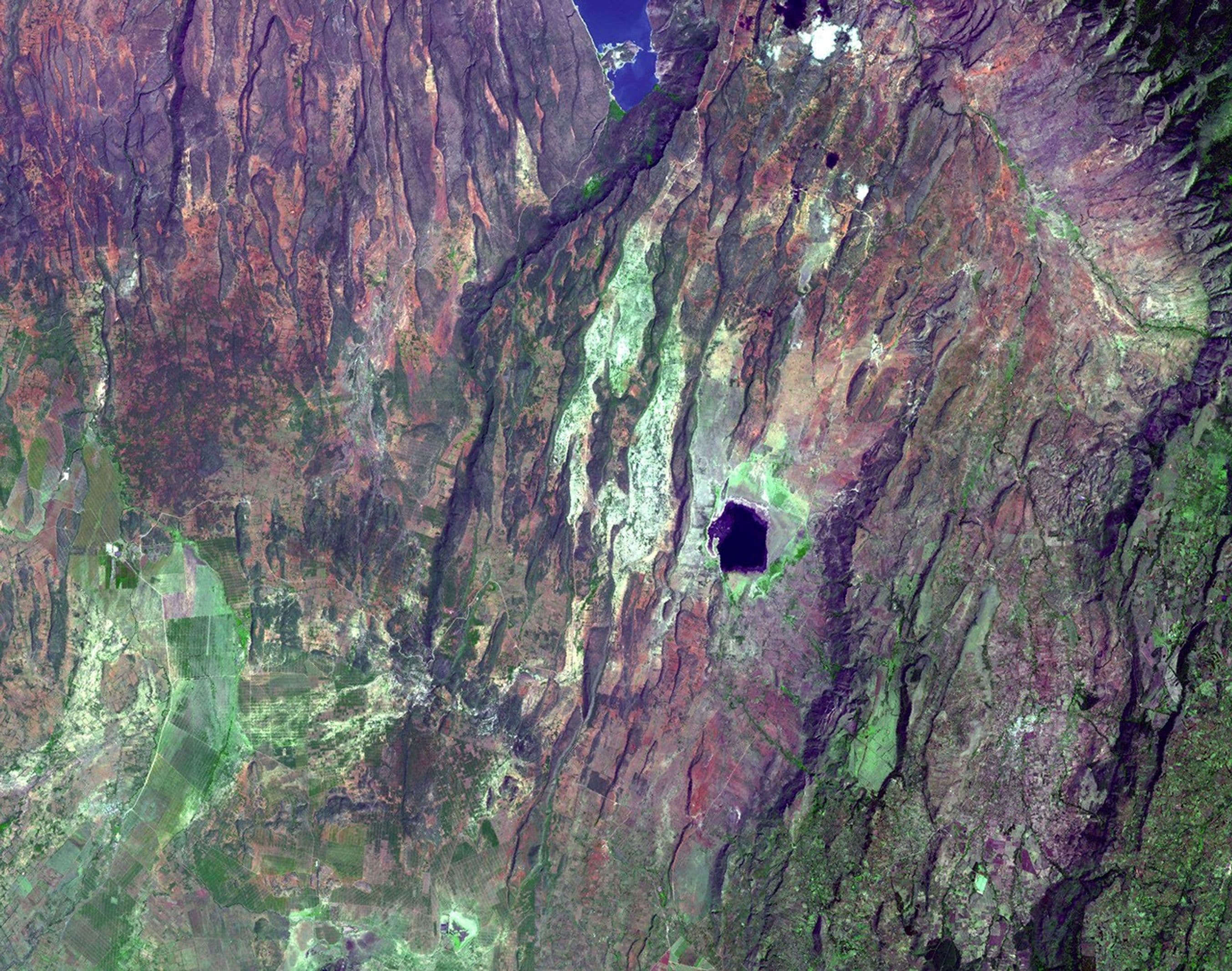
Almost everything a trekker cares about happens where plates meet. Where they pull apart, you get rift valleys and volcanic ridges. Where they grind sideways past each other, you get great strike-slip faults like Alaska's Denali Fault. And where they converge — one plate diving beneath another, or two continents ramming head-on — you get the planet's mountain belts, its volcanic arcs, and most of its big earthquakes. The next three sections are really just a tour of the different ways plates collide, and the wildly different mountains each style of collision builds. When you stand on a summit anywhere in this guide, you are standing on the visible result of that engine — still running, right now, beneath your boots.
Three Ways to Build a Mountain: Collision, Subduction, Accretion
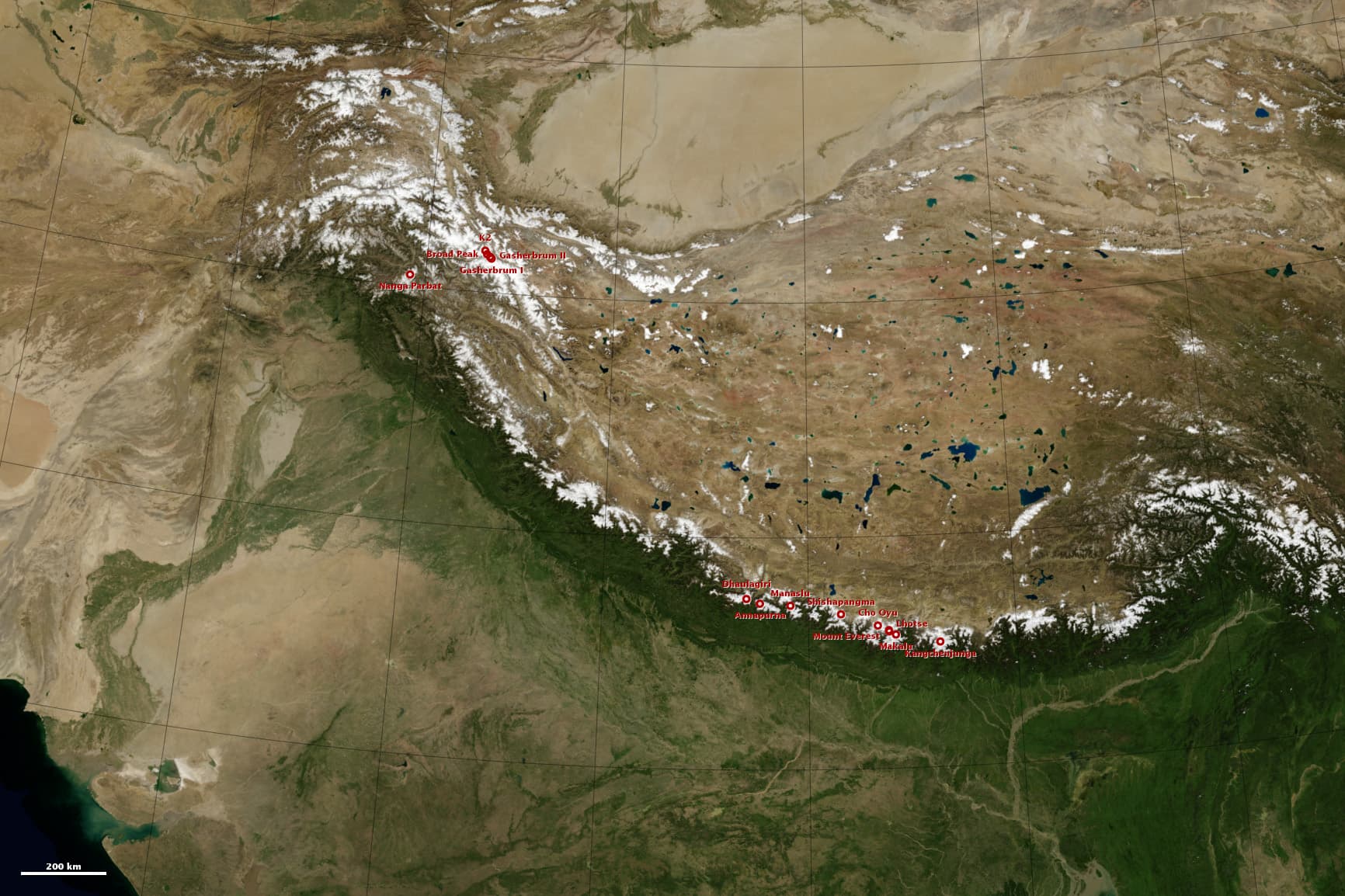
The Himalaya is what happens when two continents hit head-on. Around 40–50 million years ago, India — which had been racing north across an ocean after breaking away from the southern supercontinent — slammed into Asia. Continental crust is too light and buoyant to sink into the mantle, so neither side could get out of the way: like two colliding icebergs, the crust buckled, stacked, and thickened, pushing up the Himalaya and the vast Tibetan Plateau behind it. This is collision orogeny, and it explains the Himalaya's signature features: staggering height, few volcanoes (no plate is sinking deep enough to make magma), and relentless earthquakes, because India is still pressing into Asia today and the range is still rising.
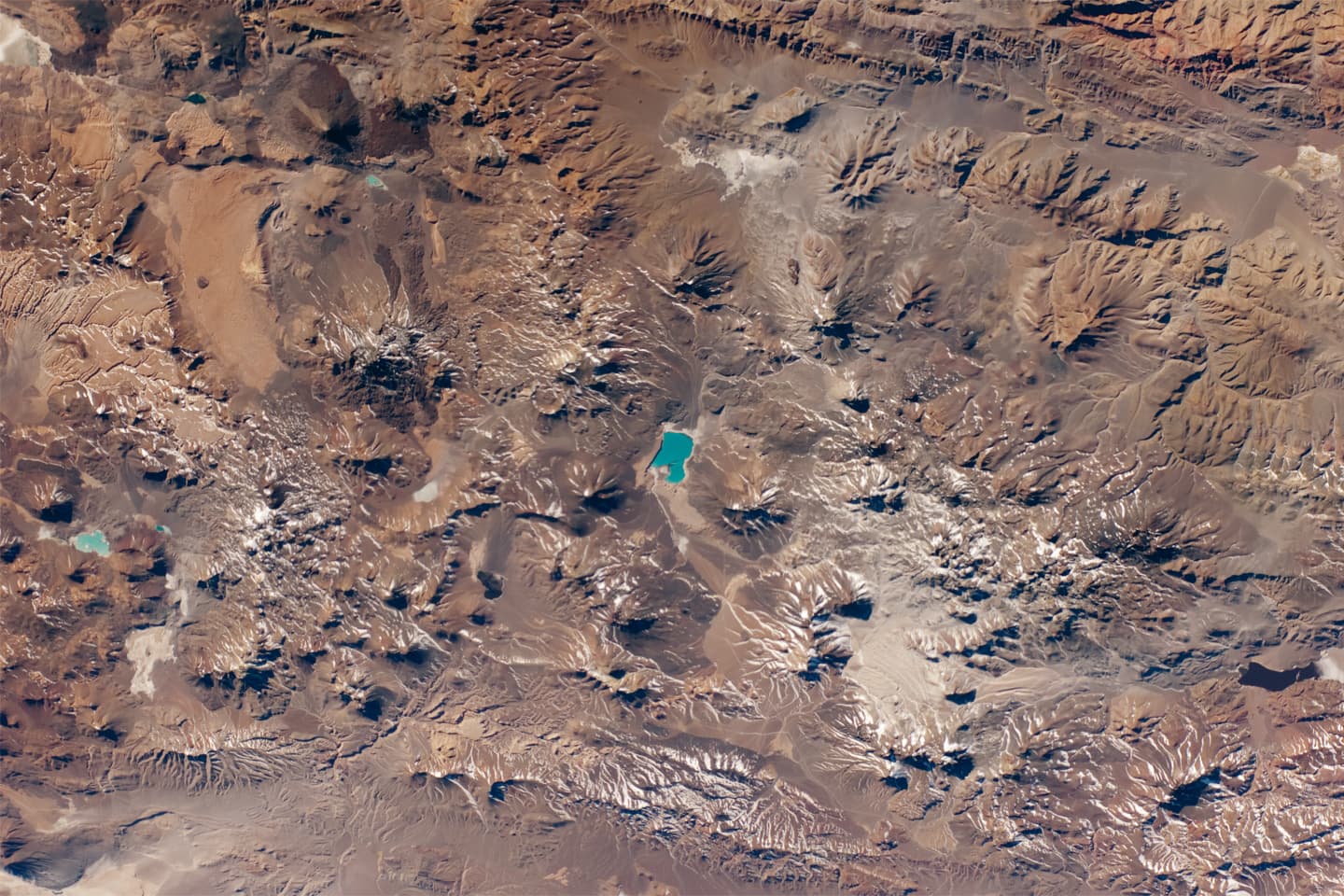
The Andes are built by a different mechanism: subduction. Off South America's west coast, the oceanic Nazca Plate dives beneath the continent at roughly 6–9 cm per year — some of the fastest convergence on Earth. As the slab descends, water baked out of it lowers the melting point of the overlying mantle, generating magma that rises to feed a chain of volcanoes along the entire margin. The result is the world's longest continental mountain range, studded with some 200 potentially active volcanoes, from Lanín and Villarrica in Patagonia to the giants of the Atacama. Collision belts like the Himalaya are crumpled; subduction belts like the Andes are both crumpled and actively fed magma from below — which is why an Andean trek so often ends on a volcano.
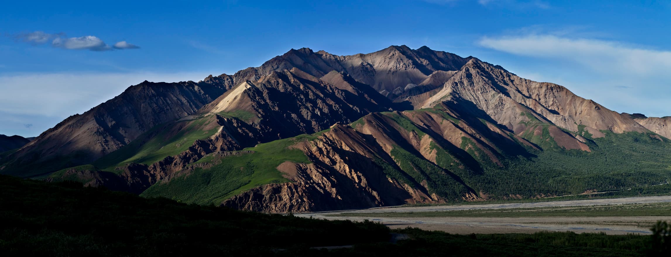
Denali shows a third, stranger recipe: accretion. Southern Alaska is a jigsaw of 'terranes' — fragments of volcanic island chains, slivers of seafloor, and pieces of other continents — that were rafted north on oceanic plates over hundreds of millions of years. Each fragment was too thick and buoyant to subduct, so one by one they collided with North America and were welded on, building Alaska outward like layers of papier-mâché. Denali itself is the exposed core of a granite pluton — magma that crystallized deep underground — later shoved skyward by tectonic squeezing along a bend in the 2,000-km-long Denali Fault, part of the great strike-slip boundary system between the Pacific and North American plates. At 6,190 m, it is the roof of a continent assembled from spare parts.
Same engine, three products. Head-on continental collision gives you the Himalaya: colossal, seismic, volcano-poor. Ocean-under-continent subduction gives you the Andes: long, linear, volcanic. Piecemeal accretion plus a strike-slip kink gives you Denali: a granite monolith rising from a patchwork. Learn to spot the signatures, and every skyline becomes legible.
Volcano Shapes: Why the Cone Follows the Chemistry
You can read a volcano's chemistry from a valley away, because its silhouette is a graph of how its lava flows. The key variable is silica. Low-silica basalt is runny — it pours for kilometers before freezing, building broad, gently sloped shields. High-silica magmas like andesite and dacite are viscous and gas-charged — they pile up close to the vent and periodically explode, building steep cones from alternating layers of lava and ash. The USGS groups volcanoes into a few principal types — shields, composite cones (stratovolcanoes), cinder cones, lava domes — but the underlying rule is simple: the stickier the magma, the steeper and more dangerous the volcano.
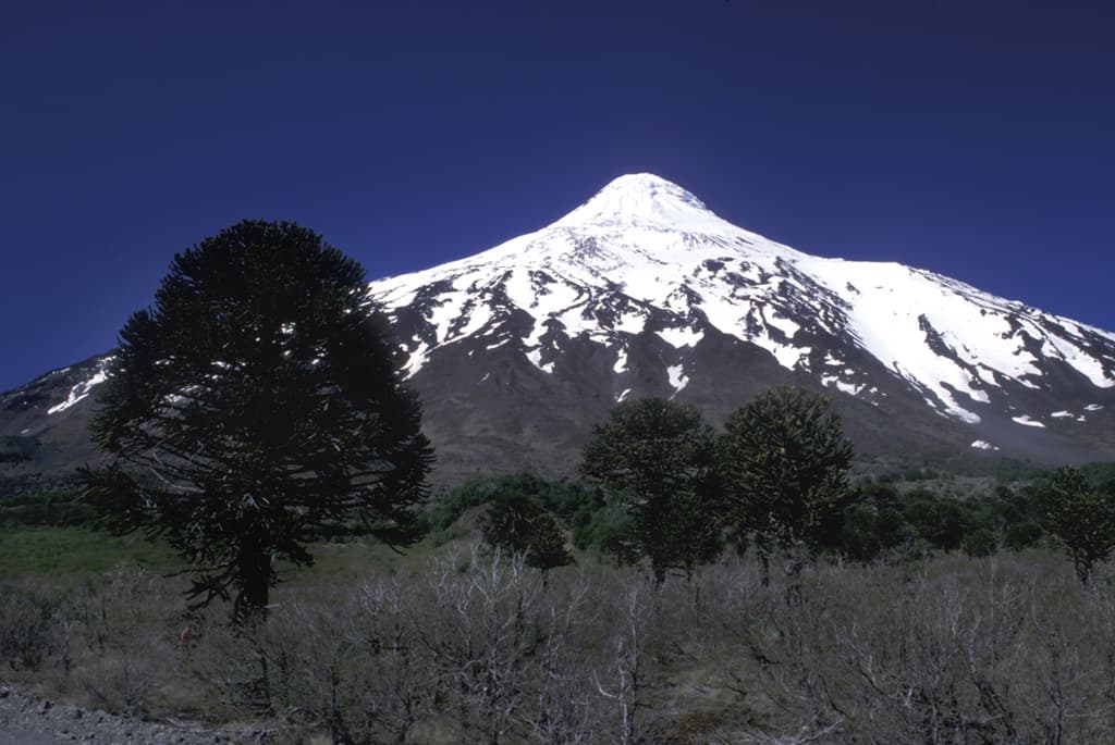
Lanín, on the Argentina–Chile border, is the stratovolcano archetype: an ice-capped cone about 3,750 m tall, so symmetrical it looks drawn with a compass. It is a subduction volcano, fed by the sinking Nazca Plate, and its perfect profile records thousands of alternating eruptions — lava flow, ash layer, lava flow — stacked like a pastry. It has no historical eruptions, but the geologic record shows repeated activity over the past 10,000 years, most recently about 2,200 years ago: dormant, not extinct, which is true of most of the pretty cones you'll trek past in the Andes.
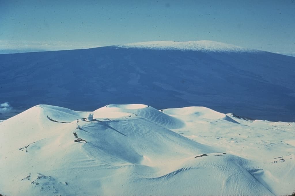
Mauna Kea is the opposite answer. Fed not by subduction but by a mantle hotspot under the moving Pacific Plate, its fluid basalts spread instead of piling, building a mountain so broad its slopes rarely feel steep. Yet by one honest measure it is the tallest mountain on Earth: about 4,207 m above sea level, plus roughly 6,000 m more hidden below the waves — over 10 km from seafloor base to summit, comfortably exceeding Everest's height above sea level. In its old age it has entered a 'post-shield' phase of stickier lavas, which built the cinder cones that give the summit region its lumpy, Mars-like look.
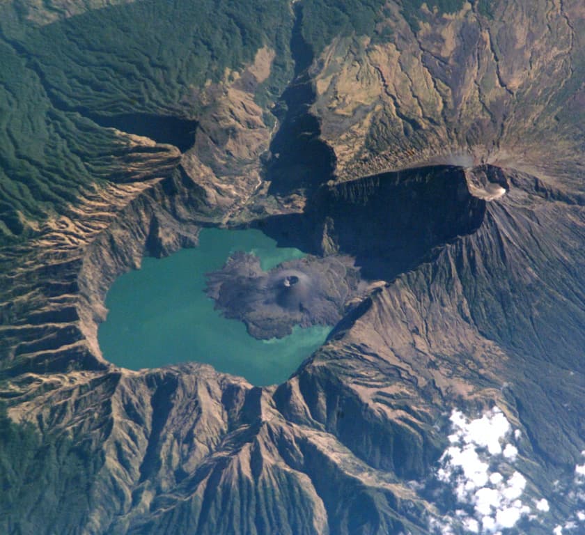
Rinjani, on Lombok, shows what the third shape means. Next to today's summit once stood a larger volcano, Samalas. In 1257 CE it emptied its magma reservoir in one of the most powerful eruptions of the last several thousand years (VEI 7); the hollowed-out edifice collapsed into the void, leaving a caldera 6 by 8.5 km wide that now cradles the crescent lake of Segara Anak. Sulfate from that single eruption is preserved in ice cores at both poles, and it cooled climate worldwide. A caldera is not a mountain the volcano built — it is the hole left where a mountain used to be, with a young cone already growing inside the lake. When your trail follows a vast circular rim, you are walking the scar of a detonation.
Reading Rocks on the Trail: Granite, Limestone, Volcanic
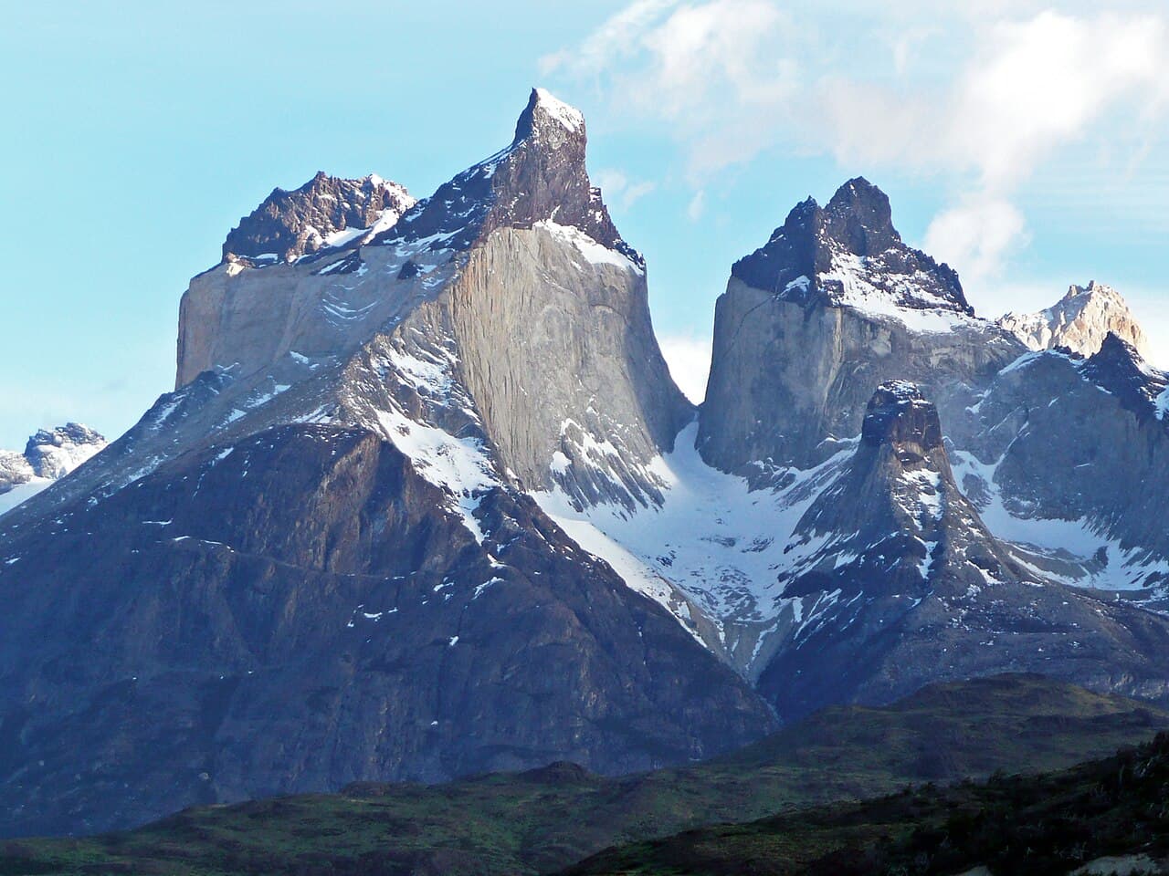
Three rock families cover most of what a trekker will ever stand on, and each one tells you where you are in the deep history of the landscape. The first test costs nothing: look closely. Granite is unmistakable — a salt-and-pepper mosaic of interlocking crystals big enough to see individually: glassy gray quartz, blocky white or pink feldspar, glittering flakes of mica. Big crystals mean slow cooling, and slow cooling means depth: granite is magma that never erupted, crystallizing kilometers underground in the roots of a mountain belt. So when you're walking on granite — under the towers of Fitz Roy or Torres del Paine, or on Denali's flanks — the message is dramatic: everything that once lay above this rock has been stripped away by erosion. You are hiking through the basement of a vanished mountain range, and because granite erodes into bold, joint-bound shapes, it makes the steepest, cleanest walls and spires in the trekking world.
Limestone speaks softer but says something stranger. Typically gray to cream, fine-grained, and laid down in distinct beds, it is compacted seafloor: the accumulated shells and skeletons of marine life, cemented into stone. The classic field test is a drop of dilute acid — real limestone fizzes as the calcite reacts — but the trail gives you easier clues: fossils (shells, corals, sea-lily stems), sharp ridges riddled with sinkholes and caves, and a suspicious absence of surface streams, because water dissolves limestone and flows underground instead. Limestone country always means the same thing: you are walking on an ancient sea. The pale towers of the Dolomites are Triassic reef systems lifted into the sky, and the summit of Everest itself is capped by marine limestone.
Volcanic rocks are the opposite of granite: the same magmas, but ones that made it to the surface and froze fast. Fast cooling means crystals too small to see — dull, fine-grained black or gray basalt and andesite, sometimes streaked with frozen flow-bands. The giveaways are textural: vesicles (gas-bubble holes), rubbly red or black scoria, featherweight pumice that floats on water, and the elegant hexagonal columns basalt forms as thick flows cool and crack. On a stratovolcano trail like Lanín or Rinjani, notice how the ground alternates — solid lava here, loose ash and cinders there. You are climbing the actual layers of past eruptions, one at a time.
A one-glance summary for the trail: visible interlocking crystals = granite = the exhumed guts of a magma chamber. Fine gray beds with fossils, caves, and no streams = limestone = an uplifted ocean floor. Dark, fine-grained or bubbly rock in layers = volcanic = eruptions young enough that the mountain may not be finished. Ask of any outcrop 'where did you form?' — deep underground, under the sea, or on the surface in fire — and the landscape starts answering.
Deep Time: The Seafloor on the Summit
Here is the single most disorienting fact in mountain geology: the summit of Mount Everest is made of seafloor. The top of the world is capped by the Qomolangma Formation — well-bedded marine limestone from the Ordovician period, roughly 450–470 million years old, containing fragments of trilobites, brachiopods, ostracods, and crinoids (sea lilies). Those creatures lived and died in a warm, shallow sea long before trees existed, before anything walked on land. Their compacted graveyard now stands 8,849 meters in the sky, hoisted there after India's slow-motion collision with Asia crumpled the old ocean margin upward. Climbers gasping in the death zone are, in the most literal sense, standing on an ocean floor.
The numbers that make this possible — millions and billions of years, abbreviated 'Ma' and 'Ga' by geologists — defy intuition, so borrow a trekker's trick: map Earth's 4.54-billion-year history onto a 100-kilometer trek. Every kilometer you walk is about 45 million years. You hike for days through a lifeless world; the first fossil-rich seas of the Cambrian only appear around kilometer 88. The Everest summit limestone forms near kilometer 90. Dinosaurs vanish just 1.5 km from the trailhead's end. Ötzi-style human history — all agriculture, all cities, every word ever written — occupies the final 11 centimeters: less than half a bootprint. On this trail, the Himalaya begins rising about one day's walk from the finish.
Deep time is also what turns fingernail-speed motion into mountains, and you can feel it with simple arithmetic. A plate creeping at 5 cm per year covers 50 km in a million years — and 5,000 km in a hundred million. That is how India crossed an entire ocean; that is how the Nazca Plate keeps feeding the Andes; that is why 'slow' and 'unstoppable' mean the same thing in geology. Uplift works the same way: a few millimeters per year, roughly canceled by erosion, compounds over millions of years into an Everest — while rivers and glaciers carve away almost as fast as the rock rises, which is why mountains have valleys at all.
So carry deep time with you as a trail skill. When you pick up a gray pebble with a sea-lily stem in it at 5,000 meters, you are holding an animal that died 450 million years ago, and the mountain around you is its tombstone — still rising a few millimeters each year, still being torn down by every stream you cross. Nothing on a trek is finished. You are walking through a single frame of a very long film.